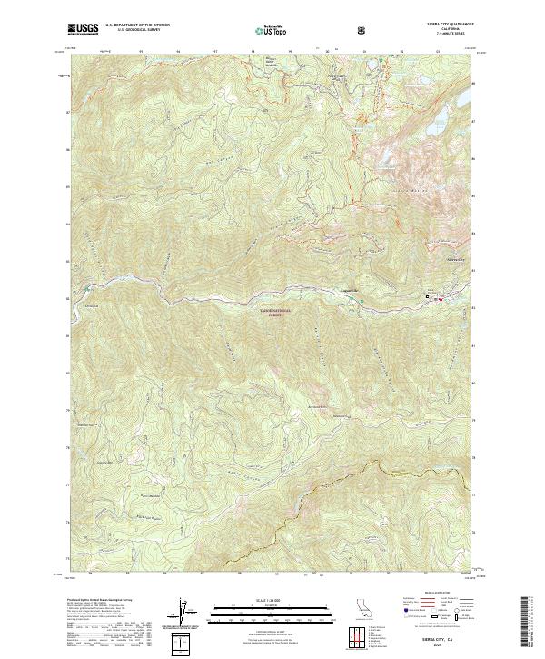
2021 Map of Sierra City
USGS Topo · Published 2021About this map
Sierra City and the neighboring settlement of Loganville serve as the primary hubs in this high-elevation region of the Tahoe National Forest. The landscape is defined by the steep drainages of the N Yuba River and Middle Yuba River, with the Sierra Buttes rising prominently over a network of alpine lakes including Upper Sardine Lake and Packer Lake.
Find a feature on this map
70 named features on this map. Tap any name to fly to it.
Don’t see what you’re looking for? This feature index may not catch every label — zoom into the map to look around manually.
Map Details
Editions of this 2021 Sierra City Map
This is the sole edition of this map. No revisions or reprints were ever made.
Other maps of this area

1891 · Downieville
USGS Topo · 1:125,000

1891 · Colfax
USGS Topo · 1:125,000

1892 · Colfax
USGS Topo · 1:125,000

1893 · Downieville
USGS Topo · 1:125,000

1894 · Colfax
USGS Topo · 1:125,000

1895 · Downieville
USGS Topo · 1:125,000

1896 · Downieville
USGS Topo · 1:125,000

1897 · Downieville
USGS Topo · 1:125,000

1898 · Colfax
USGS Topo · 1:125,000

1900 · Colfax
USGS Topo · 1:125,000