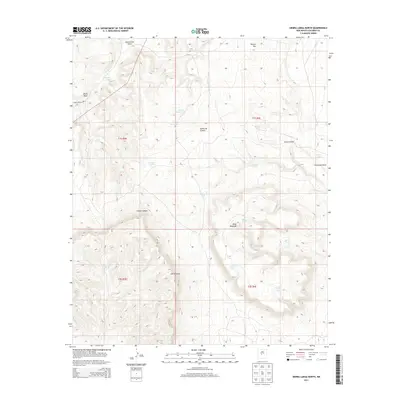
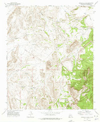
2013 Map of Sierra Larga North
USGS Topo · Published 2013About this map
Sierra Larga dominates this section of Socorro County, where high desert plateaus and deeply cut drainages define the topography. The landscape is marked by prominent elevations such as Black Mesa and Mesa Redonda, while numerous water catchment features like Adolpho Tank, Kessler Tank, and Lower Marr Tank suggest the area's continued use for livestock grazing in an arid environment.
Find a feature on this map
26 named features on this map. Tap any name to fly to it.
Don’t see what you’re looking for? This feature index may not catch every label — zoom into the map to look around manually.
Map Details
Editions of this 2013 Sierra Larga North Map
This is the sole edition of this map. No revisions or reprints were ever made.
Other maps of this area

1916 · La Joya
USGS Topo · 1:125,000

1952 · Becker SW
USGS Topo · 1:24,000

1952 · Cerro Montoso
USGS Topo · 1:24,000

1954 · Socorro
USGS Topo · 1:250,000

1958 · Socorro
USGS Topo · 1:250,000

1962 · Socorro
USGS Topo · 1:250,000
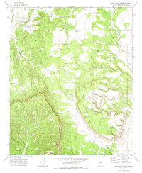
1972 · Sierra Larga North
USGS Topo · 1:24,000
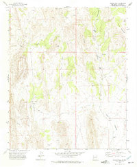
1972 · Bustos Well
USGS Topo · 1:24,000
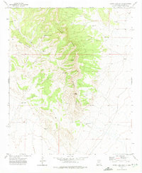
1972 · Sierra Larga South
USGS Topo · 1:24,000
1972 · Sierra De La Cruz
USGS Topo · 1:24,000