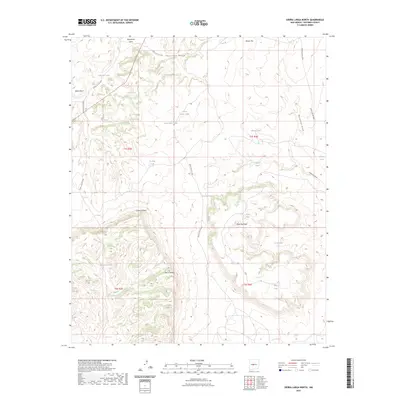
2023 Map of Sierra Larga North
USGS Topo · Published 2023About this map
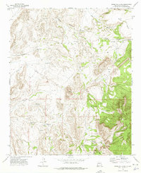
Sierra Larga anchors this high-desert landscape in Socorro County, where complex drainage systems and volcanic landforms define the terrain. The northern section is dominated by the broad courses of Entraniosa Draw and Tecolote Draw, while the prominent elevations of Black Mesa and Brown Top provide significant landmarks. The map details a network of water catchment systems essential for ranching and wildlife in this arid environment, including Adolpho Tank, La May Tank, and Kessler Tank. To the south, the deep incision of Cibola Canyon and the flat-topped Mesa Redonda illustrate the dramatic geological transition between the mesa country and the rugged canyons. White Sands Missile Range access routes, such as WSMR S Route 3808, cross the township lines, marking the intersection of traditional land use and modern federal oversight.
Find a feature on this map
31 named features on this map. Tap any name to fly to it.
Don’t see what you’re looking for? This feature index may not catch every label — zoom into the map to look around manually.
Map Details
Editions of this 2023 Sierra Larga North Map
This is the sole edition of this map. No revisions or reprints were ever made.
Other maps of this area

1916 · La Joya
USGS Topo · 1:125,000

1952 · Becker SW
USGS Topo · 1:24,000

1952 · Cerro Montoso
USGS Topo · 1:24,000

1954 · Socorro
USGS Topo · 1:250,000

1958 · Socorro
USGS Topo · 1:250,000

1962 · Socorro
USGS Topo · 1:250,000
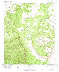
1972 · Sierra Larga North
USGS Topo · 1:24,000
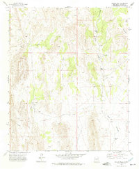
1972 · Bustos Well
USGS Topo · 1:24,000
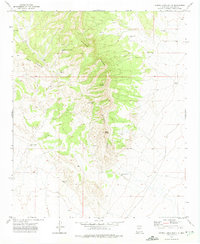
1972 · Sierra Larga South
USGS Topo · 1:24,000
1972 · Sierra De La Cruz
USGS Topo · 1:24,000