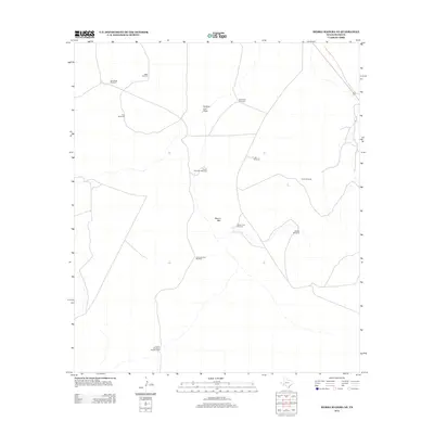
2012 Map of Sierra Madera NE
USGS Topo · Published 2012About this map
Lemon Windmill Number One and a network of widely scattered water sources define the ranching landscape of Pecos County on the edge of the Trans-Pecos region. This 2012 survey reveals the essential infrastructure of West Texas land management, where named landmarks like Twenty Foot Windmill and Sixshooter Windmill serve as both vital utilities and navigational anchors in a terrain of subtle elevation changes. The land is drained by ephemeral features such as Number Four Draw, which channels occasional runoff through the scrub. Prominent rises like Round Mtn provide the few topographical breaks in an otherwise open range. The map captures the continued importance of historical named sites, including Kelly Wade Windmill and Lemonds New Windmill, illustrating the generational layers of cattle ranching and water rights that persist into the 21st century.
Find a feature on this map
13 named features on this map. Tap any name to fly to it.
Don’t see what you’re looking for? This feature index may not catch every label — zoom into the map to look around manually.
Map Details
Editions of this 2012 Sierra Madera NE Map
This is the sole edition of this map. No revisions or reprints were ever made.
Other maps of this area

1921 · Fort Stockton
USGS Topo · 1:62,500

1923 · Fort Stockton
USGS Topo · 1:62,500

1923 · Sierra Madera
USGS Topo · 1:62,500

1928 · Comanche Spring
USGS Topo · 1:125,000

1954 · Fort Stockton
USGS Topo · 1:250,000

1958 · Fort Stockton
USGS Topo · 1:250,000

1970 · Twelvemile Mesa
USGS Topo · 1:24,000
1970 · East Mesa SW
USGS Topo · 1:24,000
1970 · Fivemile Mesa
USGS Topo · 1:24,000

1973 · Fort Stockton
USGS Topo · 1:250,000