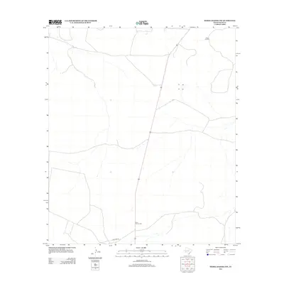
2012 Map of Sierra Madera NW
USGS Topo · Published 2012About this map
Pikes Peak Gas Plant stands as a focal point of industrial infrastructure in this high-desert portion of Pecos County. The landscape is primarily defined by the intersection of energy production and ranching utility, with features like Puckett Windmill indicating the vital necessity of water management in this arid West Texas environment. Settlement is sparse, replaced by a network of ranch and access roads including Esca Lera Rd. Surveyed in 2012, the map documents a terrain where natural resources are harnessed through isolated industrial sites and specialized water catchments such as Corner Tank and W Tank. The lack of traditional townships emphasizes the region's specialized role in the state's energy and grazing economies.
Find a feature on this map
5 named features on this map. Tap any name to fly to it.
Don’t see what you’re looking for? This feature index may not catch every label — zoom into the map to look around manually.
Map Details
Editions of this 2012 Sierra Madera NW Map
This is the sole edition of this map. No revisions or reprints were ever made.
Other maps of this area

1921 · Fort Stockton
USGS Topo · 1:62,500

1923 · Fort Stockton
USGS Topo · 1:62,500

1923 · Sierra Madera
USGS Topo · 1:62,500

1928 · Comanche Spring
USGS Topo · 1:125,000

1929 · Hovey
USGS Topo · 1:125,000

1954 · Fort Stockton
USGS Topo · 1:250,000

1958 · Fort Stockton
USGS Topo · 1:250,000

1970 · Twelvemile Mesa
USGS Topo · 1:24,000
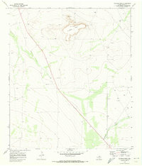
1970 · Fivemile Mesa
USGS Topo · 1:24,000
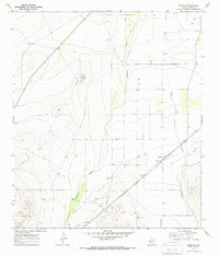
1970 · Belding
USGS Topo · 1:24,000