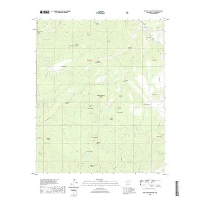
2020 Map of Sign Camp Mountain
USGS Topo · Published 2020About this map
Gila National Forest encompasses this high-altitude landscape in Catron County, where the Mogollon Divide separates complex drainage systems. The terrain is defined by a network of named canyons and ridges, including Sign Camp Canyon and the prominent Sign Camp Ridge. For local history and genealogy, the map identifies specific water sources and named landmarks that indicate early land use, such as Old Cabin Spring, Sign Camp, and several high-elevation tanks like Lower Sheep Basin Tank and Christmas Tree Tank. The topography is shaped by significant heights including Sign Camp Mtn, Turkey Mtn, and Russ Mtn. Access is maintained through a series of Forest Service routes, such as Forest Rd 180 and Forest Rd 181, which connect remote points across Rainy Mesa and through Six-shooter Saddle.
Find a feature on this map
69 named features on this map. Tap any name to fly to it.
Don’t see what you’re looking for? This feature index may not catch every label — zoom into the map to look around manually.
Map Details
Editions of this 2020 Sign Camp Mountain Map
This is the sole edition of this map. No revisions or reprints were ever made.
Other maps of this area

1910 · Mogollon
USGS Topo · 1:125,000

1912 · Mogollon
USGS Topo · 1:125,000

1915 · Reserve
USGS Topo · 1:125,000

1918 · Reserve
USGS Topo · 1:125,000

1954 · Clifton
USGS Topo · 1:250,000

1957 · Clifton
USGS Topo · 1:250,000

1958 · Clifton
USGS Topo · 1:250,000

1962 · Clifton
USGS Topo · 1:250,000

1963 · Bearwallow Mountain
USGS Topo · 1:24,000

1963 · Negrito Mountain
USGS Topo · 1:24,000