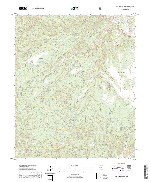
2023 Map of Sign Camp Mountain
USGS Topo · Published 2023About this map
Gila National Forest contains the high-elevation terrain of Catron County, dominated by the meeting of several prominent ridgelines. The Mogollon Divide and Deep Creek Divide define the water movement across this landscape, where numerous seasonal tanks and springs serve as the primary water sources for this high-country environment. Named points of interest such as Sign Camp and the nearby Sign Camp Mtn suggest a history of seasonal occupation or forest management, supported by the presence of the Rainy Mesa Airstrip on the eastern edge of the quadrangle.
Find a feature on this map
71 named features on this map. Tap any name to fly to it.
Don’t see what you’re looking for? This feature index may not catch every label — zoom into the map to look around manually.
Map Details
Editions of this 2023 Sign Camp Mountain Map
This is the sole edition of this map. No revisions or reprints were ever made.
Other maps of this area

1910 · Mogollon
USGS Topo · 1:125,000

1912 · Mogollon
USGS Topo · 1:125,000

1915 · Reserve
USGS Topo · 1:125,000

1918 · Reserve
USGS Topo · 1:125,000

1954 · Clifton
USGS Topo · 1:250,000

1957 · Clifton
USGS Topo · 1:250,000

1958 · Clifton
USGS Topo · 1:250,000

1962 · Clifton
USGS Topo · 1:250,000

1963 · Bearwallow Mountain
USGS Topo · 1:24,000

1963 · Negrito Mountain
USGS Topo · 1:24,000