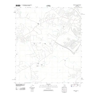
2010 Map of Signal Hill
USGS Topo · Published 2010About this map
Cedar Valley and several family raches define the suburban-rural fringe of Southwest Austin during the first decade of the 21st century. The landscape is dominated by the sprawling networks of Slaughter Creek and Bear Creek, where the transition from traditional ranching properties like Heissner Ranch and Signal Hill Ranch to residential development is clearly visible. Genealogists will find the locations of the Oliver Cemetery in the north and the Johnson Cemetery near Friday Mountain in the south particularly valuable for tracing local family lineages. Transport corridors such as the S Mo-Pac Expy and Fitzhugh Rd provide the framework for the area's growth, while prominent landforms like Signal Hill and Spring Hollow anchor the topography of the Texas Hill Country.
Find a feature on this map
33 named features on this map. Tap any name to fly to it.
Don’t see what you’re looking for? This feature index may not catch every label — zoom into the map to look around manually.
Map Details
Editions of this 2010 Signal Hill Map
This is the sole edition of this map. No revisions or reprints were ever made.
Other maps of this area

1887 · Blanco
USGS Topo · 1:125,000

1894 · Blanco
USGS Topo · 1:125,000

1896 · Austin
USGS Topo · 1:125,000

1897 · Austin
USGS Topo · 1:125,000

1910 · Austin
USGS Topo · 1:125,000

1932 · Mt. Bonnell
USGS Topo · 1:62,500

1954 · Austin West
USGS Topo · 1:24,000

1954 · Llano
USGS Topo · 1:250,000

1954 · Austin
USGS Topo · 1:250,000

1955 · Llano
USGS Topo · 1:250,000