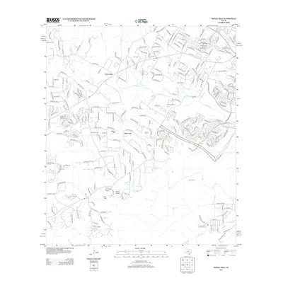
2013 Map of Signal Hill
USGS Topo · Published 2013About this map
Cedar Valley and its surrounding ranchlands represent the evolving landscape of Central Texas in the early 21st century. The terrain is defined by the drainage basins of several prominent waterways, most notably the meandering course of Slaughter Cr and Bear Cr. These natural landmarks are punctuated by local heights such as Signal Hill and the distinctive Friday Mtn. The map preserves the footprint of legacy family operations like Heissner Ranch, Koenig Ranch, and Spillar Ranch, documenting a transition where historic agricultural holdings are increasingly surrounded by modern residential networks. Local genealogy and history are anchored by small burial sites, including Oliver Cem in the north and Johnson Cem near Spring Hollow, which provide a bridge to the area's earlier rural character. This survey illustrates the intricate balance between traditional ranching heritage and the expansion of the Austin metropolitan fringe.
Find a feature on this map
240 named features on this map. Tap any name to fly to it.
Don’t see what you’re looking for? This feature index may not catch every label — zoom into the map to look around manually.
Map Details
Editions of this 2013 Signal Hill Map
This is the sole edition of this map. No revisions or reprints were ever made.
Other maps of this area

1887 · Blanco
USGS Topo · 1:125,000

1894 · Blanco
USGS Topo · 1:125,000

1896 · Austin
USGS Topo · 1:125,000

1897 · Austin
USGS Topo · 1:125,000

1910 · Austin
USGS Topo · 1:125,000

1932 · Mt. Bonnell
USGS Topo · 1:62,500

1954 · Austin West
USGS Topo · 1:24,000

1954 · Llano
USGS Topo · 1:250,000

1954 · Austin
USGS Topo · 1:250,000

1955 · Llano
USGS Topo · 1:250,000