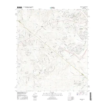
2016 Map of Signal Hill
USGS Topo · Published 2016About this map
Friday Mtn and the surrounding drainage basins of Slaughter Cr and Bear Cr define this landscape on the southwest fringe of Austin. The map reveals a transition between established Texas hill country ranching heritage and modern residential expansion along the Travis and Hays county line. The presence of Oliver Cem and Johnson Cem provides grounding for genealogical research, marking the early burial sites of pioneer families who settled in rural communities like Cedar Valley and Spring Hollow. High-elevation landmarks such as Signal Hill overlook a complex network of named tributaries including Myrtle Cr and Grape Cr. This survey illustrates how suburban development has integrated with the natural geography, with winding roads like Fitzhugh Rd and Thomas Springs Rd connecting historically distinct settlements to the growing state capital.
Find a feature on this map
236 named features on this map. Tap any name to fly to it.
Don’t see what you’re looking for? This feature index may not catch every label — zoom into the map to look around manually.
Map Details
Editions of this 2016 Signal Hill Map
This is the sole edition of this map. No revisions or reprints were ever made.
Other maps of this area

1887 · Blanco
USGS Topo · 1:125,000

1894 · Blanco
USGS Topo · 1:125,000

1896 · Austin
USGS Topo · 1:125,000

1897 · Austin
USGS Topo · 1:125,000

1910 · Austin
USGS Topo · 1:125,000

1932 · Mt. Bonnell
USGS Topo · 1:62,500

1954 · Austin West
USGS Topo · 1:24,000

1954 · Llano
USGS Topo · 1:250,000

1954 · Austin
USGS Topo · 1:250,000

1955 · Llano
USGS Topo · 1:250,000