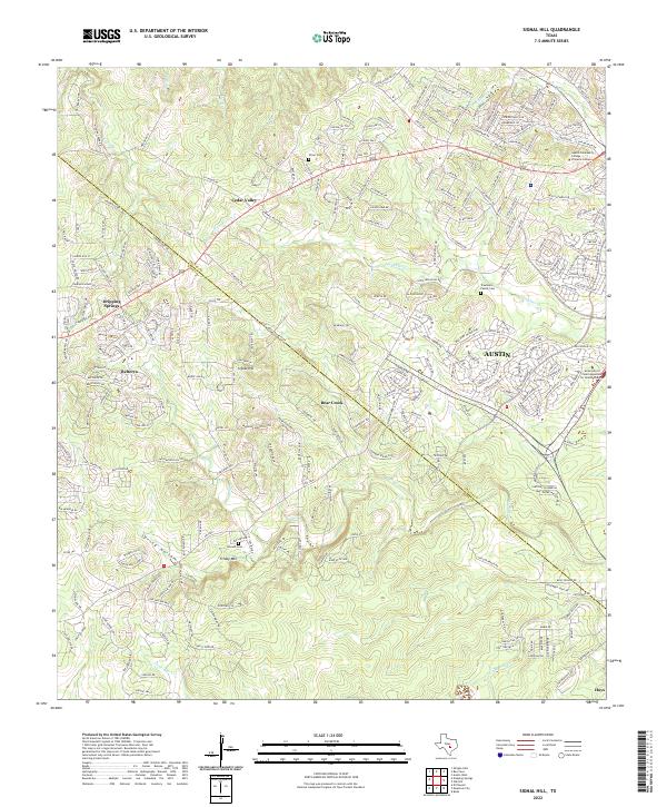
2022 Map of Signal Hill
USGS Topo · Published 2022About this map
The Travis Co and Hays Co line runs diagonally through this landscape, dividing the Hill Country suburban expansion from established family landmarks. The area around Cedar Valley and Signal Hill shows a dense network of residential development, yet several historic burying grounds remain preserved among the modern streets, including Oliver Cem, Johnson Cem, and the Trautwein Family Cem near the banks of Slaughter Cr. The terrain is defined by the winding paths of Bear Creek and Little Bear Cr, which carve through the limestone toward the southwest. Local elevation is anchored by Friday Mtn and Twilight Mesa, while institutional growth is represented by the Austin Community College - Pinnacle Campus and the University of Saint Augustine for Health Sciences on the eastern edge of the Austin city limits.
Find a feature on this map
28 named features on this map. Tap any name to fly to it.
Don’t see what you’re looking for? This feature index may not catch every label — zoom into the map to look around manually.
Map Details
Editions of this 2022 Signal Hill Map
This is the sole edition of this map. No revisions or reprints were ever made.
Other maps of this area

1887 · Blanco
USGS Topo · 1:125,000

1894 · Blanco
USGS Topo · 1:125,000

1896 · Austin
USGS Topo · 1:125,000

1897 · Austin
USGS Topo · 1:125,000

1910 · Austin
USGS Topo · 1:125,000

1932 · Mt. Bonnell
USGS Topo · 1:62,500

1954 · Austin West
USGS Topo · 1:24,000

1954 · Llano
USGS Topo · 1:250,000

1954 · Austin
USGS Topo · 1:250,000

1955 · Llano
USGS Topo · 1:250,000