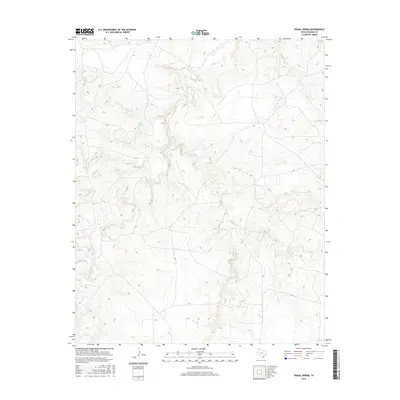
2016 Map of Signal Spring
USGS Topo · Published 2016About this map
Signal Spring marks a vital water source in this high plains landscape of Oldham County, situated where the drainage systems of the Texas Panhandle begin to carve distinct relief into the terrain. The 2016 survey illustrates a complex network of seasonal watercourses, most notably the winding path of Trujillo Cr in the northern reaches and the branching systems of Mujares Cr and the E Fork Mujares Cr to the south. These drainages define the local topography, creating a series of draws and ridges that have historically dictated movement and land use in this arid region. The map provides a precise modern record of these natural features and the sparse network of ranch roads that navigate the varying elevations between the creek beds and the level plains.
Find a feature on this map
4 named features on this map. Tap any name to fly to it.
Don’t see what you’re looking for? This feature index may not catch every label — zoom into the map to look around manually.
Map Details
Editions of this 2016 Signal Spring Map
This is the sole edition of this map. No revisions or reprints were ever made.
Other maps of this area

1954 · Tucumcari
USGS Topo · 1:250,000

1958 · Tucumcari
USGS Topo · 1:250,000

1966 · Moser Ranch
USGS Topo · 1:24,000

1966 · Signal Spring
USGS Topo · 1:24,000

1966 · Boise
USGS Topo · 1:24,000

1966 · Signal Spring SE
USGS Topo · 1:24,000

1966 · Vat Camp
USGS Topo · 1:24,000

1966 · Trujillo Camp
USGS Topo · 1:24,000

1968 · Glenrio
USGS Topo · 1:24,000

1968 · Sanchez Springs
USGS Topo · 1:24,000