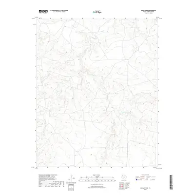
2019 Map of Signal Spring
USGS Topo · Published 2019About this map
Signal Spring marks a vital water source in this corner of the Texas Panhandle, anchoring a landscape defined by the drainage networks of Oldham County. The terrain is deeply etched by the winding paths of Trujillo Cr, which flows southward through the western portion of the quadrangle. To the east, the headwaters and branches of Mujeres Cr and its E Fork Mujeres Cr create a complex system of draws and canyons typical of the High Plains transition. This modern survey illustrates how these ancient watercourses continue to dictate the placement of ranch roads and cattle tanks in a region where reliable water has historically determined the patterns of human activity and land use. The sparse distribution of named features highlights the open, ranch-dominated character of the modern landscape.
Find a feature on this map
4 named features on this map. Tap any name to fly to it.
Don’t see what you’re looking for? This feature index may not catch every label — zoom into the map to look around manually.
Map Details
Editions of this 2019 Signal Spring Map
This is the sole edition of this map. No revisions or reprints were ever made.
Other maps of this area

1954 · Tucumcari
USGS Topo · 1:250,000

1958 · Tucumcari
USGS Topo · 1:250,000

1966 · Moser Ranch
USGS Topo · 1:24,000

1966 · Signal Spring
USGS Topo · 1:24,000

1966 · Boise
USGS Topo · 1:24,000

1966 · Signal Spring SE
USGS Topo · 1:24,000

1966 · Vat Camp
USGS Topo · 1:24,000

1966 · Trujillo Camp
USGS Topo · 1:24,000

1968 · Glenrio
USGS Topo · 1:24,000

1968 · Sanchez Springs
USGS Topo · 1:24,000