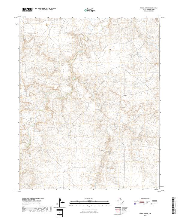
2022 Map of Signal Spring
USGS Topo · Published 2022About this map
Signal Spring serves as a central point of interest in this portion of the Texas Panhandle, marking a landscape defined by deep-set drainage systems and high plains. The topography is dominated by the winding paths of Trujillo Cr and Mujeres Cr, which carve through the terrain in the western and central portions of the sheet. To the east, the E Fork Mujeres Cr further dissects the area, illustrating the intricate hydrography of Oldham County. The map reveals a sparse, rangeland environment where natural water sources and intermittent creek beds dictate the placement of local tracks and crossing points, reflecting the enduring ranching character of this high plains region in the early twenty-first century.
Find a feature on this map
4 named features on this map. Tap any name to fly to it.
Don’t see what you’re looking for? This feature index may not catch every label — zoom into the map to look around manually.
Map Details
Editions of this 2022 Signal Spring Map
This is the sole edition of this map. No revisions or reprints were ever made.
Other maps of this area

1954 · Tucumcari
USGS Topo · 1:250,000

1958 · Tucumcari
USGS Topo · 1:250,000

1966 · Moser Ranch
USGS Topo · 1:24,000

1966 · Signal Spring
USGS Topo · 1:24,000

1966 · Boise
USGS Topo · 1:24,000

1966 · Signal Spring SE
USGS Topo · 1:24,000

1966 · Vat Camp
USGS Topo · 1:24,000

1966 · Trujillo Camp
USGS Topo · 1:24,000

1968 · Glenrio
USGS Topo · 1:24,000

1968 · Sanchez Springs
USGS Topo · 1:24,000