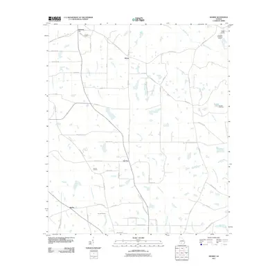
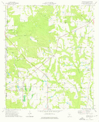
2011 Map of Sigsbee
USGS Topo · Published 2011About this map
New Elm and the surrounding agricultural lands of Colquitt County are defined by a network of drainage systems and family-named farm roads. The landscape is characterized by the branching paths of Okapilco Creek and the Ochlockonee River, which dictate the placement of small rural hubs like Sigsbee and Anderson City. This 2011 survey captures the area's transition into the 21st century while preserving its historical layout, where localized landmarks like the Oak Ridge Plantation Airport and Beadles Lake stand alongside legacy sites such as Kimball Cemetery and Live Oak Cemetery. The map reflects a deeply rooted agrarian economy, with thoroughfares like Old Albany Rd and Doerun Norman Park Rd connecting isolated farmsteads and rural crossroads that have served the region for generations.
Find a feature on this map
60 named features on this map. Tap any name to fly to it.
Don’t see what you’re looking for? This feature index may not catch every label — zoom into the map to look around manually.
Map Details
Editions of this 2011 Sigsbee Map
This is the sole edition of this map. No revisions or reprints were ever made.
Other maps of this area

1953 · Waycross
USGS Topo · 1:250,000

1956 · Doerun
USGS Topo · 1:62,500

1958 · Waycross
USGS Topo · 1:250,000

1973 · Ty Ty
USGS Topo · 1:24,000

1973 · Norman Park
USGS Topo · 1:24,000
1974 · Doerun
USGS Topo · 1:24,000
1974 · Tempy
USGS Topo · 1:24,000
1974 · Sigsbee
USGS Topo · 1:24,000
1974 · Bridgeboro
USGS Topo · 1:24,000

1974 · Pineboro
USGS Topo · 1:24,000