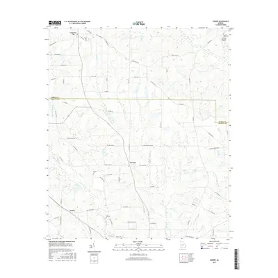
2017 Map of Sigsbee
USGS Topo · Published 2017About this map
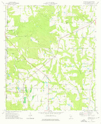
New Elm sits at the crossroads of Mac Massey Rd and Doerun Norman Park Rd, serving as a central point for this rural South Georgia landscape. The map reveals a community defined by its watercourses and family legacies, where the Ochlockonee River and Okapilco Cr drain the fertile terrain. In the northern reaches, Anderson City marks an established settlement, while smaller pockets like Sigsbee anchor the southwestern portion.
Find a feature on this map
68 named features on this map. Tap any name to fly to it.
Don’t see what you’re looking for? This feature index may not catch every label — zoom into the map to look around manually.
Map Details
Editions of this 2017 Sigsbee Map
This is the sole edition of this map. No revisions or reprints were ever made.
Other maps of this area

1953 · Waycross
USGS Topo · 1:250,000

1956 · Doerun
USGS Topo · 1:62,500

1958 · Waycross
USGS Topo · 1:250,000

1973 · Ty Ty
USGS Topo · 1:24,000

1973 · Norman Park
USGS Topo · 1:24,000
1974 · Doerun
USGS Topo · 1:24,000
1974 · Tempy
USGS Topo · 1:24,000
1974 · Sigsbee
USGS Topo · 1:24,000
1974 · Bridgeboro
USGS Topo · 1:24,000

1974 · Pineboro
USGS Topo · 1:24,000