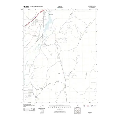
2010 Map of Sigurd
USGS Topo · Published 2010About this map
Sevier River water rights and agricultural irrigation define the landscape of this Sevier County corridor. The intricate network of the Piute Canal, Vermillion Canal, and Richfield Canal supports the valley floor, terminating near the Rocky Ford Dam and the waters of Rocky Ford Reservoir. These engineering works transformed the arid terrain around Sigurd and Vermillion into a managed agricultural zone. To the south, the community of Glenwood is anchored by the Glenwood Fish Hatchery and Mill Creek. Local history and genealogy are well-represented by several distinct burial grounds, including Vermillion Cemetery, Sigurd Cemetery, and Venice Cemetery. The eastern boundary shifts toward the rising elevations of Cedar Mountain and the prominent Rainbow Hills.
Find a feature on this map
38 named features on this map. Tap any name to fly to it.
Don’t see what you’re looking for? This feature index may not catch every label — zoom into the map to look around manually.
Map Details
Editions of this 2010 Sigurd Map
This is the sole edition of this map. No revisions or reprints were ever made.
Other maps of this area

1885 · Beaver
USGS Topo · 1:250,000

1885 · Fish Lake
USGS Topo · 1:250,000

1896 · Fish Lake
USGS Topo · 1:250,000

1940 · Monroe
USGS Topo · 1:62,500

1944 · Monroe
USGS Topo · 1:62,500

1953 · Richfield
USGS Topo · 1:250,000

1956 · Salina
USGS Topo · 1:250,000

1958 · Richfield
USGS Topo · 1:250,000

1960 · Salina
USGS Topo · 1:250,000

1961 · Richfield
USGS Topo · 1:62,500