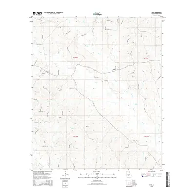
2015 Map of Sikes
USGS Topo · Published 2015About this map
Sikes and the nearby community of Hickory Valley anchor this Winn Parish landscape, defined by a dense network of creek branches and winding parish roads. The terrain is notably dissected by watercourses like Turkey Creek, Flat Creek, and Spring Creek, which dictate the local infrastructure and settlement patterns. Several family-named cemeteries, including Wright Cem, Willis Cem, Smith Cem, and Starns Cem, are scattered across the township lines, offering significant points of interest for genealogists tracing local lineage.
Find a feature on this map
80 named features on this map. Tap any name to fly to it.
Don’t see what you’re looking for? This feature index may not catch every label — zoom into the map to look around manually.
Map Details
Editions of this 2015 Sikes Map
This is the sole edition of this map. No revisions or reprints were ever made.
Other maps of this area

1949 · Jonesboro
USGS Topo · 1:62,500

1950 · Jonesboro
USGS Topo · 1:62,500

1950 · Winnfield
USGS Topo · 1:62,500

1951 · Winnfield
USGS Topo · 1:62,500

1953 · Alexandria
USGS Topo · 1:250,000

1954 · Sikes
USGS Topo · 1:62,500

1954 · Tullos
USGS Topo · 1:62,500

1955 · Shreveport
USGS Topo · 1:250,000

1955 · Alexandria
USGS Topo · 1:250,000

1956 · Shreveport
USGS Topo · 1:250,000