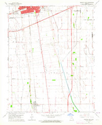
1963 Map of Sikeston South
USGS Topo · Published 1964About this map
The agricultural landscape of the Missouri Bootheel is defined here by the prominent Sikeston Ridge, a natural elevated landform that historically provided flood-free ground for early settlement and transportation. In the early 1960s, the city of Sikeston expanded along its northern edge, showing established neighborhoods around West End Park and schools such as Lincoln Sch and South Sch. The surrounding lowlands of Big Prairie and Long Prairie are intricately carved by drainage projects including North Cut Ditch and St Johns Ditch, reflecting the massive engineering effort required to convert these former wetlands into productive farmland.
Find a feature on this map
31 named features on this map. Tap any name to fly to it.
Don’t see what you’re looking for? This feature index may not catch every label — zoom into the map to look around manually.
Map Details
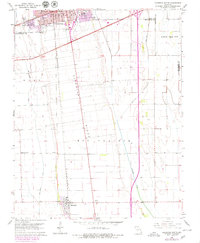
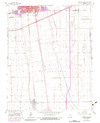
Editions of this 1963 Sikeston South Map
Other maps of this area

1931 · Sikeston
USGS Topo · 1:62,500

1934 · Sikeston
USGS Topo · 1:62,500

1939 · Sikeston
USGS Topo · 1:62,500

1939 · Charleston
USGS Topo · 1:62,500

1939 · New Madrid
USGS Topo · 1:62,500

1939 · Bayouville
USGS Topo · 1:62,500

1954 · Charleston
USGS Topo · 1:62,500

1954 · New Madrid
USGS Topo · 1:62,500

1955 · Bayouville
USGS Topo · 1:62,500

1956 · Dyersburg
USGS Topo · 1:250,000