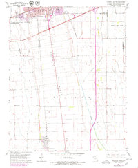
1963 Map of Sikeston South
USGS Topo · Published 1979About this map
Sikeston and Matthews anchor this detailed look at the Missouri Bootheel, capturing a landscape defined by industrial drainage and rail transport. The terrain is characterized by the broad elevations of Sikeston Ridge, Big Prairie, and Long Prairie, which are segmented by an extensive network of man-made waterways including St Johns Ditch, North Cut Ditch, and Ash Slough Ditch. These ditches reflect the massive engineering efforts required to reclaim the region's fertile lowlands for agriculture.
Find a feature on this map
21 named features on this map. Tap any name to fly to it.
Don’t see what you’re looking for? This feature index may not catch every label — zoom into the map to look around manually.
Map Details
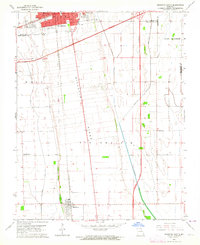
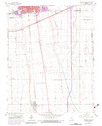
Editions of this 1963 Sikeston South Map
Other maps of this area

1931 · Sikeston
USGS Topo · 1:62,500

1934 · Sikeston
USGS Topo · 1:62,500

1939 · Sikeston
USGS Topo · 1:62,500

1939 · Charleston
USGS Topo · 1:62,500

1939 · New Madrid
USGS Topo · 1:62,500

1939 · Bayouville
USGS Topo · 1:62,500

1954 · Charleston
USGS Topo · 1:62,500

1954 · New Madrid
USGS Topo · 1:62,500

1955 · Bayouville
USGS Topo · 1:62,500

1956 · Dyersburg
USGS Topo · 1:250,000