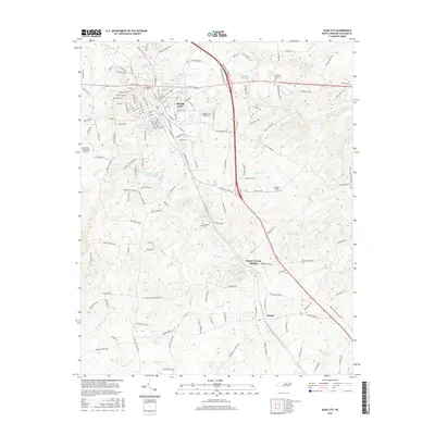
2016 Map of Siler City
USGS Topo · Published 2016About this map
Siler City serves as the central hub in this mid-2010s survey of Chatham County, where urban development meets the rolling watershed of the Rocky River. The map details the town's expansion, anchored by Oakwood Cemetery and the Siler City Municipal Airport, while tracing the course of Loves Creek as it winds through the community. South of the main settlement, the rural landscape transitions into smaller communities like Mount Vernon Springs and Bonlee, which remain connected by the long-standing corridor of Old US Highway 421 North.
Find a feature on this map
158 named features on this map. Tap any name to fly to it.
Don’t see what you’re looking for? This feature index may not catch every label — zoom into the map to look around manually.
Map Details
Editions of this 2016 Siler City Map
This is the sole edition of this map. No revisions or reprints were ever made.
Other maps of this area

1953 · Raleigh
USGS Topo · 1:250,000

1954 · Raleigh
USGS Topo · 1:250,000

1968 · Coleridge
USGS Topo · 1:24,000

1968 · Bennett
USGS Topo · 1:24,000

1969 · Siler City
USGS Topo · 1:24,000

1970 · Goldston
USGS Topo · 1:24,000

1970 · Bear Creek
USGS Topo · 1:24,000

1970 · Siler City NE
USGS Topo · 1:24,000

1974 · Silk Hope
USGS Topo · 1:24,000

1974 · Crutchfield Crossroads
USGS Topo · 1:24,000