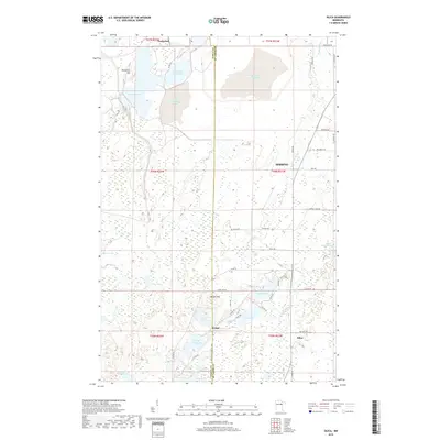
2019 Map of Silica
USGS Topo · Published 2019About this map
Nashwauk anchors the northern reaches of this Iron Range landscape, where the geography is defined by the legacy of industrial mining and a complex network of wetlands. Large-scale water management is evident through features like Reservoir Number Six and Reservoir Two, alongside the sprawling Nspc-Initial Tailings Basin. These artificial structures sit in close proximity to natural landmarks such as Blueberry Hill and Moose Lake, illustrating the intersection of natural topography and industrial necessity.
Find a feature on this map
52 named features on this map. Tap any name to fly to it.
Don’t see what you’re looking for? This feature index may not catch every label — zoom into the map to look around manually.
Map Details
Editions of this 2019 Silica Map
This is the sole edition of this map. No revisions or reprints were ever made.
Other maps of this area
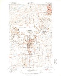
1951 · Hibbing
USGS Topo · 1:24,000
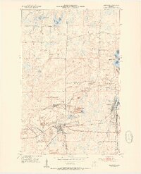
1952 · Keewatin
USGS Topo · 1:24,000
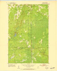
1952 · Riley
USGS Topo · 1:24,000
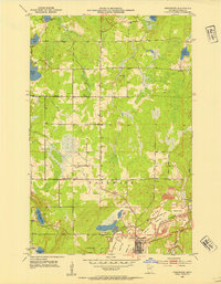
1952 · Nashwauk
USGS Topo · 1:24,000
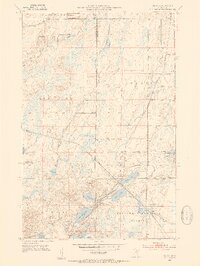
1952 · Silica
USGS Topo · 1:24,000
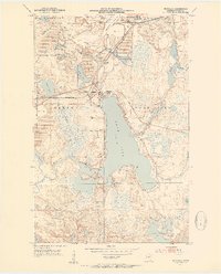
1952 · Pengilly
USGS Topo · 1:24,000
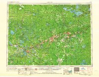
1954 · Hibbing
USGS Topo · 1:250,000
1957 · Hibbing
USGS Topo · 1:250,000
1957 · Hibbing
USGS Topo · 1:24,000
1958 · Hibbing
USGS Topo · 1:250,000