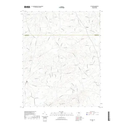
2019 Map of Silk Hope
USGS Topo · Published 2019About this map
The settlement of Silk Hope anchor’s the southwestern corner of this Piedmont landscape, situated just below the Alamance Co Chatham Co line. This region is defined by a dense network of creeks and branches, including S Fork Cane Cr, Lick Cr, and Terrells Cr, which eventually drain toward the Haw River in the northeast. The topography is etched with numerous named rural routes that speak to the area’s agricultural and community roots, such as Lindley Mill Rd and Pickard Mill Rd, suggesting a history tied to local milling operations.
Find a feature on this map
90 named features on this map. Tap any name to fly to it.
Don’t see what you’re looking for? This feature index may not catch every label — zoom into the map to look around manually.
Map Details
Editions of this 2019 Silk Hope Map
This is the sole edition of this map. No revisions or reprints were ever made.
Other maps of this area

1953 · Raleigh
USGS Topo · 1:250,000

1954 · Raleigh
USGS Topo · 1:250,000

1968 · White Cross
USGS Topo · 1:24,000

1968 · Bynum
USGS Topo · 1:24,000

1969 · Siler City
USGS Topo · 1:24,000

1970 · Pittsboro
USGS Topo · 1:24,000

1970 · Siler City NE
USGS Topo · 1:24,000

1974 · Silk Hope
USGS Topo · 1:24,000

1974 · Crutchfield Crossroads
USGS Topo · 1:24,000
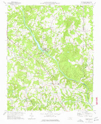
1977 · Saxapahaw
USGS Topo · 1:24,000