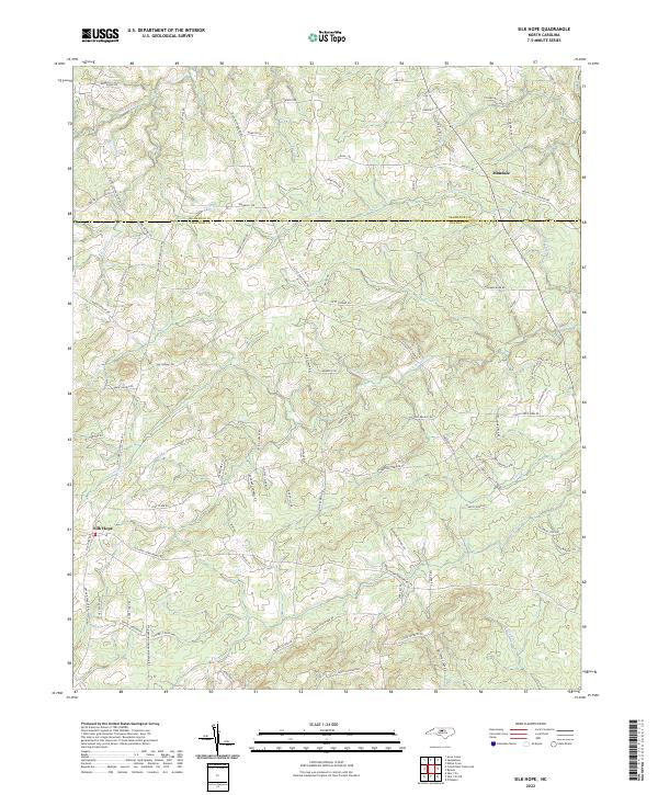
2022 Map of Silk Hope
USGS Topo · Published 2022About this map
Silk Hope serves as the primary hub in this rural landscape where the headwaters of several Piedmont streams begin their descent toward the Haw River along the eastern edge. The topography is defined by the drainage basins of S Fork Cane Cr and Terrells Cr, creating a network of ridges and hollows that historically shaped local settlement and agriculture. Near the northern border with Alamance County, the community of Mandale sits among the hills. The map details a dense web of family-named roads such as Woody Store Rd and Epps Clark Rd, reflecting the deep-rooted genealogical heritage of this corner of the state. Numerous small tributaries, including Lick Cr and Harlands Cr, weave through the terrain, illustrating the natural water resources that supported local homesteads and small-scale farming for generations.
Find a feature on this map
93 named features on this map. Tap any name to fly to it.
Don’t see what you’re looking for? This feature index may not catch every label — zoom into the map to look around manually.
Map Details
Editions of this 2022 Silk Hope Map
This is the sole edition of this map. No revisions or reprints were ever made.
Other maps of this area

1953 · Raleigh
USGS Topo · 1:250,000

1954 · Raleigh
USGS Topo · 1:250,000

1968 · White Cross
USGS Topo · 1:24,000

1968 · Bynum
USGS Topo · 1:24,000

1969 · Siler City
USGS Topo · 1:24,000

1970 · Pittsboro
USGS Topo · 1:24,000

1970 · Siler City NE
USGS Topo · 1:24,000

1974 · Silk Hope
USGS Topo · 1:24,000

1974 · Crutchfield Crossroads
USGS Topo · 1:24,000
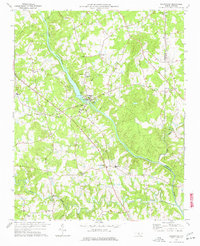
1977 · Saxapahaw
USGS Topo · 1:24,000