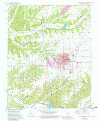
1972 Map of Siloam Springs
USGS Topo · Published 1982About this map
Siloam Springs and West Siloam Springs straddle the state line where the Ozark plateau meets the Cherokee Nation lands of Oklahoma in this early 1970s topographic record. The urban core, centered on the Kansas City Southern railroad, shows significant institutional development including John Brown University and several local schools. The landscape is defined by the winding course of the Illinois River to the south and the smaller drainages of Flint Creek and Sager Creek that carve through the surrounding hills.
Find a feature on this map
53 named features on this map. Tap any name to fly to it.
Don’t see what you’re looking for? This feature index may not catch every label — zoom into the map to look around manually.
Map Details
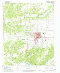
Editions of this 1972 Siloam Springs Map
2 editions found
Other maps of this area

1899 · Fayetteville
USGS Topo · 1:125,000

1899 · Siloam Springs
USGS Topo · 1:125,000

1901 · Fayetteville
USGS Topo · 1:125,000

1903 · Siloam Springs
USGS Topo · 1:125,000

1904 · Siloam Springs
USGS Topo · 1:125,000

1904 · Fayetteville
USGS Topo · 1:125,000

1954 · Tulsa
USGS Topo · 1:250,000

1958 · Tulsa
USGS Topo · 1:250,000

1963 · Tulsa
USGS Topo · 1:250,000

1970 · Gallatin
USGS Topo · 1:24,000