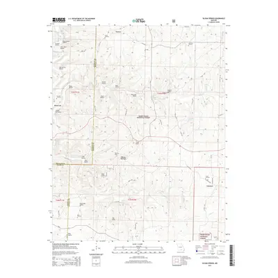
2015 Map of Siloam Springs
USGS Topo · Published 2015About this map
Siloam Springs lies at the heart of this landscape where Douglas, Howell, and Ozark counties converge. The terrain is deeply defined by narrow drainages like Tabor Cr and Spring Creek, which have carved out numerous hollows named for early families and local industries, such as Steam Mill Hollow and Shingle Mill Hollow. These names suggest a history of timber processing within the heavily wooded areas now protected as part of the Mark Twain National Forest. Local genealogists will find several burial grounds mapped across the hills, including Thornton Cemetery near Roosevelt and Oak Grove Cemetery to the north. Physical landmarks like Payne Knob and Lovers Leap overlook a network of forest roads and county routes that connect small settlements like Grimmet and Horton, illustrating a rural Missouri community structure that persisted into the early 21st century.
Find a feature on this map
69 named features on this map. Tap any name to fly to it.
Don’t see what you’re looking for? This feature index may not catch every label — zoom into the map to look around manually.
Map Details
Editions of this 2015 Siloam Springs Map
This is the sole edition of this map. No revisions or reprints were ever made.
Other maps of this area

1939 · Topaz
USGS Topo · 1:62,500

1941 · Topaz
USGS Topo · 1:62,500

1944 · West Plains
USGS Topo · 1:62,500

1944 · Cureall
USGS Topo · 1:62,500

1945 · Harrison
USGS Topo · 1:250,000

1945 · Willow Springs
USGS Topo · 1:62,500

1946 · West Plains
USGS Topo · 1:62,500

1946 · Cureall
USGS Topo · 1:62,500

1948 · Willow Springs
USGS Topo · 1:62,500

1949 · Harrison
USGS Topo · 1:250,000