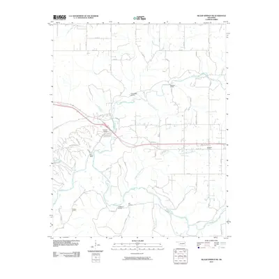
2010 Map of Siloam Springs NW
USGS Topo · Published 2010About this map
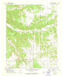
The Illinois River and its numerous tributaries dominate this landscape in Delaware County, providing a detailed look at the drainage patterns of the Ozark plateau at the start of the 21st century. The map centers on the winding course of Flint Creek as it moves toward Fidlers Bend, cutting through a series of named hollows including Hazelnut Hollow and Calunchety Hollow. These geological features illustrate the deeply dissected nature of the local terrain before it opens into the broad expanse of Moseley Prairie to the east.
Find a feature on this map
54 named features on this map. Tap any name to fly to it.
Don’t see what you’re looking for? This feature index may not catch every label — zoom into the map to look around manually.
Map Details
Editions of this 2010 Siloam Springs NW Map
This is the sole edition of this map. No revisions or reprints were ever made.
Other maps of this area
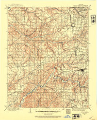
1899 · Siloam Springs
USGS Topo · 1:125,000
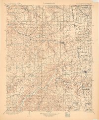
1903 · Siloam Springs
USGS Topo · 1:125,000
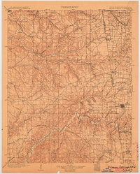
1904 · Siloam Springs
USGS Topo · 1:125,000

1954 · Tulsa
USGS Topo · 1:250,000
1958 · Tulsa
USGS Topo · 1:250,000
1963 · Tulsa
USGS Topo · 1:250,000
1971 · Jay SE
USGS Topo · 1:24,000
1971 · Cherokee City
USGS Topo · 1:24,000
1971 · Colcord
USGS Topo · 1:24,000
1972 · Chance
USGS Topo · 1:24,000