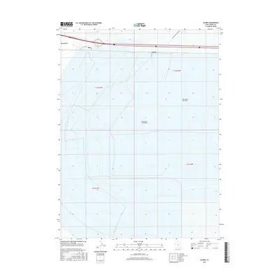
2017 Map of Silsbee
USGS Topo · Published 2017About this map
The Great Salt Lake Desert defines the stark landscape of this Tooele County survey, where the expanse of the Bonneville Salt Flats meets the industrial and transport infrastructure of the high desert. Along the northern edge of the map, the settlements of Wendover, Blair, and Silsbee follow the corridor of Interstate 80. This area is globally recognized for the International Racetrack, situated within the salt flats, which has served as a focal point for high-speed trials and automotive testing for decades. The grid-like survey lines of t1s r19w and t1s r18w contrast with the fluid, shimmering boundaries of the salt crust, illustrating the intersection of human engineering and one of North America's most unique geological environments.
Find a feature on this map
10 named features on this map. Tap any name to fly to it.
Don’t see what you’re looking for? This feature index may not catch every label — zoom into the map to look around manually.
Map Details
Editions of this 2017 Silsbee Map
This is the sole edition of this map. No revisions or reprints were ever made.
Other maps of this area

1953 · Tooele
USGS Topo · 1:250,000

1955 · Tooele
USGS Topo · 1:250,000

1955 · Elko
USGS Topo · 1:250,000

1958 · Elko
USGS Topo · 1:250,000

1962 · Elko
USGS Topo · 1:250,000

1965 · Elko
USGS Topo · 1:250,000

1971 · Leppy Peak
USGS Topo · 1:24,000

1971 · Tetzlaff Peak
USGS Topo · 1:24,000

1971 · Bonneville Racetrack
USGS Topo · 1:24,000
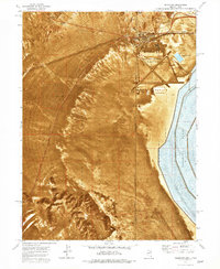
1972 · Wendover
USGS Topo · 1:24,000