Old Maps of Wendover, Utah
Explore 26 old maps of Wendover, spanning from 1953 to today. These high-resolution historic maps reveal how streets, neighborhoods, landmarks, and natural features evolved over time — perfect for genealogy, metal detecting, research, and local history exploration.
What you can do with these maps:
- See how Wendover changed over time: Compare historical maps to modern-day views to trace roads, homesites, rail lines & more.
- View detailed metadata: Each map includes creators, publishers, year, scale, and archive source.
- Overlay maps with satellite & LiDAR: Visualize the past alongside modern tools to explore terrain & human change.
- Trusted historical sources: Maps sourced from the USGS, Library of Congress, and other archives.
- Access maps your way: View online, download high-res files, or order prints for personal or research use.
Start exploring old maps of Wendover to uncover forgotten places, hidden landmarks, and the deep history beneath your feet.
Wendover, UT maps
(26)- 1953 Map of Tooele, 1968 Print
 1953 Tooele1968 Print · USGSTooele County is shown here in the 1950s, a vast landscape transitioning between the industrial growth of the Salt Lake Valley and isolated military testing grounds. Researchers can trace the routes of the Western Pacific railroad and locate historic outposts like Iosepa Ranch and St John Station.3 unique versions available
 - 1955 Map of Tooele, 1958 Print
 1955 Tooele1958 Print · USGSTooele County and the Great Salt Lake are captured here during the mid-fifties, an era of burgeoning military testing and industrial mining. Researchers can trace the rail sidings at Salduro Station, the grounds of the Deseret Chemical Corps Depot, and the International Smelting Co facilities.3 unique versions available
 - 1955 Map of Elko, 1974 Print
 1955 Elko1974 Print · USGSNortheastern Nevada in the mid-fifties is captured here as a crossroads of transcontinental rail and high desert ranching. Trace old rail stops from Wells to Elko or find remote landmarks like Shanty Town and Medicine Spring.3 unique versions available
 - 1958 Map of Elko
 1958 Elko1958 Print · USGSNorthern Nevada in the late fifties shows a landscape of high-desert ranching and Cold War aviation. Trace old rail lines like the Nevada Northern or locate the Victoria Mine and Wendover Air Force Base.2 unique versions available
 - 1962 Map of Elko
 1962 Elko1962 Print · USGSNortheastern Nevada in the early sixties is a landscape of mountain ranges and rail corridors, where the river valleys support ranching and transit. Locate old mining operations like Battle Creek Mine, rural stops like Moleen, and the sprawling Wendover Bombing and Gunnery Range.
 - 1965 Map of Elko
 1965 Elko1965 Print · USGSElko and the northeastern Nevada desert are captured here in the mid-1960s, showcasing a landscape of high ranges and essential rail corridors. Researchers can trace the path of the Western Pacific railroad through small stops like Tobar and Ventosa, or locate remote sites like Shanty Town near the Ruby Lake wetlands.
 - 1971 Map of Leppy Peak, 1974 Print
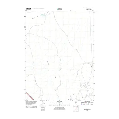
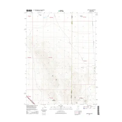
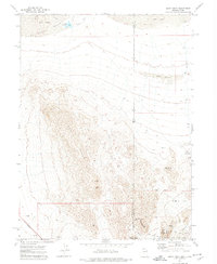 1971 Leppy Peak1974 Print · USGSThe Nevada-Utah borderlands at the start of the 1970s showcase a high-desert landscape defined by the Leppy Hills and remote caves. Geologists and local historians can trace the topography of Danger Cave State Park, Leppy Pass, and several Jeep Trails through the sand dunes.2 unique versions available
 - 1972 Map of Wendover, 1977 Print
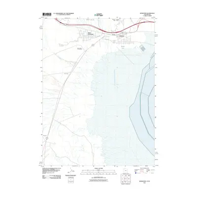
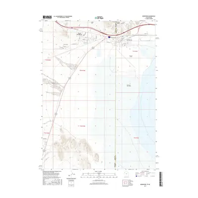
 1972 Wendover1977 Print · USGSWendover and the surrounding desert landscape are captured here in the early seventies as a primary node for military testing and transit. Researchers can trace the massive Wendover Air Force Auxiliary Field, the historic Western Pacific rail line, and sites like Danger Cave State Park.
 - 1973 Map of Silsbee, 1977 Print
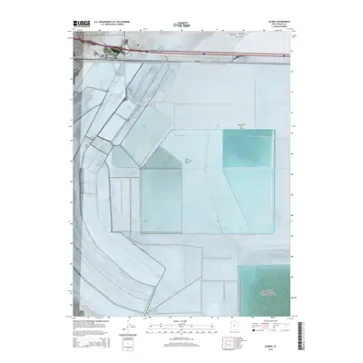
 1973 Silsbee1977 Print · USGSThe Tooele County desert in the early seventies shows a landscape defined by salt extraction and high-speed history. Trace the industrial infrastructure of Evaporator Ponds and Brine Wells near the iconic Bonneville Racetrack.
 - 1979 Map of Bonneville Salt Flats
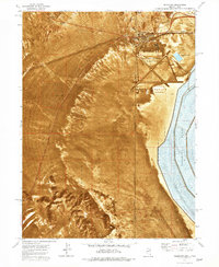
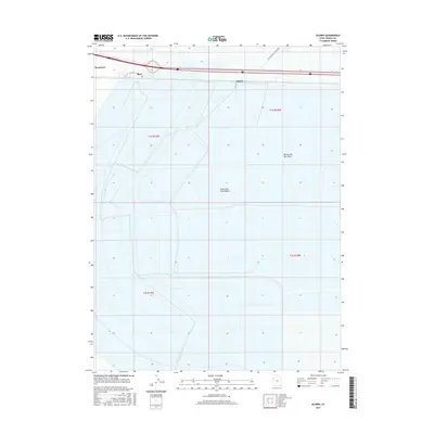
 1979 Bonneville Salt Flats1979 Print · USGSTooele County's high desert is captured here in the late seventies, showing the intersection of speed, industry, and military testing. Trace the route of the Western Pacific past isolated stops like Salduro and the Bonneville International Race Track.
 - 1985 Map of Wendover
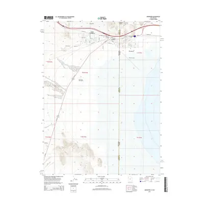
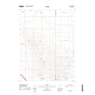
 1985 Wendover1985 Print · USGSThe high desert borderlands of Utah and Nevada are captured here during the mid-eighties, dominated by vast salt flats and isolated mountain ranges. Researchers can trace the sprawling Wendover Air Force Auxiliary Field, old rail stops like Shafter, and remote workings at the Monarch Mine.
 - 2011 Map of Silsbee, 2011 Print
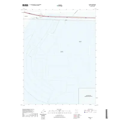
 2011 Silsbee2011 Print · USGSCovers Wendover, including Tooele County, United States, and other nearby areas
 - 2011 Map of Leppy Peak, 2011 Print
 2011 Leppy Peak2011 Print · USGSCovers Wendover, including West Wendover, Tooele County, and other nearby areas
 - 2011 Map of Wendover, 2011 Print
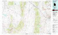
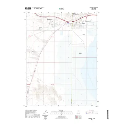
 2011 Wendover2011 Print · USGSCovers Wendover, including West Wendover, Tooele County, and other nearby areas
 - 2012 Map of Leppy Peak, 2012 Print
 2012 Leppy Peak2012 Print · USGSCovers Wendover, including West Wendover, Tooele County, and other nearby areas
 - 2014 Map of Silsbee, 2014 Print
 2014 Silsbee2014 Print · USGSCovers Wendover, including Tooele County, United States, and other nearby areas
 - 2014 Map of Wendover, 2014 Print
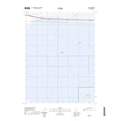
 2014 Wendover2014 Print · USGSCovers Wendover, including West Wendover, Tooele County, and other nearby areas
 - 2015 Map of Leppy Peak, 2015 Print
 2015 Leppy Peak2015 Print · USGSCovers Wendover, including West Wendover, Tooele County, and other nearby areas
 - 2017 Map of Wendover, 2017 Print
 2017 Wendover2017 Print · USGSCovers Wendover, including West Wendover, Tooele County, and other nearby areas
 - 2017 Map of Silsbee, 2017 Print
 2017 Silsbee2017 Print · USGSCovers Wendover, including Tooele County, United States, and other nearby areas
 - 2018 Map of Leppy Peak, 2018 Print
 2018 Leppy Peak2018 Print · USGSCovers Wendover, including West Wendover, Tooele County, and other nearby areas
 - 2020 Map of Wendover, 2020 Print
 2020 Wendover2020 Print · USGSCovers Wendover, including West Wendover, Tooele County, and other nearby areas
 - 2020 Map of Silsbee, 2020 Print
 2020 Silsbee2020 Print · USGSCovers Wendover, including Tooele County, United States, and other nearby areas
 - 2021 Map of Leppy Peak, 2021 Print
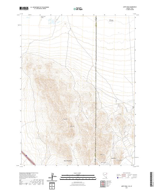 2021 Leppy Peak2021 Print · USGSThe Nevada-Utah borderlands near the Great Salt Lake Desert come into focus in this contemporary topographic study. Researchers can trace the transition from the peaks of Leppy Hills and Wendover Peak to the expanding footprints of West Wendover and Wendover.
 - 2023 Map of Silsbee, 2023 Print
 2023 Silsbee2023 Print · USGSThe Tooele County desert comes into sharp focus in this recent survey of the world-famous salt crusts. Historians and racing enthusiasts can trace the International Racetrack and the Bonneville Salt Flats alongside military boundaries at the Utah Test and Training Range.
Showing maps 1-25 of 26
Top cities near Wendover
Frequently asked questions
- What are the different types of historical maps available for Wendover?
- What is the oldest map of Wendover?
- Where can I purchase historical maps of Wendover for my home or office?
- Where can I download high-res historical maps of Wendover?
- Are there historical topographic maps available for Wendover?
- Is there historical aerial imagery available for Wendover?
- Where are historical maps of Wendover sourced from?