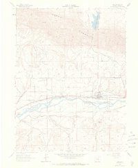
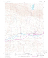
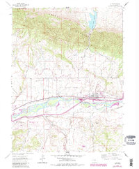
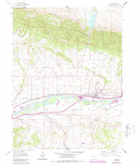
1962 Map of Silt
USGS Topo · Published 1970About this map
Cactus Valley and the Grand Hogback dominate this 1962 topographical study, where the Colorado River carves through the landscape alongside a dense network of early irrigation systems. Agricultural development is evident in the numerous water projects like the Farmers Irrigation Co Ditch, Lower Cactus Valley Ditch, and the Grass Valley Canal feeding from the Grass Valley Reservoir.
Find a feature on this map
25 named features on this map. Tap any name to fly to it.
Don’t see what you’re looking for? This feature index may not catch every label — zoom into the map to look around manually.
Map Details
Editions of this 1962 Silt Map
7 editions found
Other maps of this area

1906 · Grand Hogback
USGS Topo · 1:125,000

1910 · Grand Hogback
USGS Topo · 1:125,000

1952 · Horse Mountain
USGS Topo · 1:24,000

1952 · Rifle
USGS Topo · 1:24,000

1957 · Leadville
USGS Topo · 1:250,000

1959 · Leadville
USGS Topo · 1:250,000

1960 · Leadville
USGS Topo · 1:250,000

1960 · North Mamm Peak
USGS Topo · 1:24,000

1962 · Leadville
USGS Topo · 1:250,000

1962 · New Castle
USGS Topo · 1:24,000