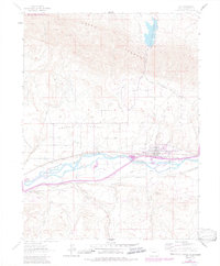
1962 Map of Silt
USGS Topo · Published 1984About this map
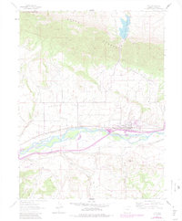
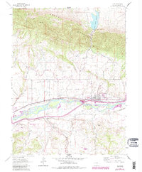
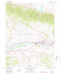
The Colorado River carves through the center of this landscape, flanked by a complex network of early water management systems vital to the development of the Cactus Valley. Irrigation infrastructure like the Lower Cactus Valley Ditch, Last Chance Ditch, and Sun Rising Ditch trace the efforts to cultivate this arid terrain. The settlement of Silt and the smaller community of Antlers are positioned along the vital transportation corridor formed by the Denver and Rio Grande Western Railroad, which mirrors the river’s path.
Find a feature on this map
31 named features on this map. Tap any name to fly to it.
Don’t see what you’re looking for? This feature index may not catch every label — zoom into the map to look around manually.
Map Details
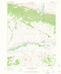
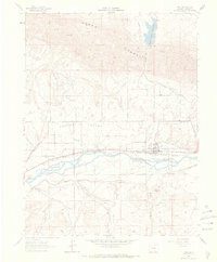
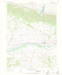
Editions of this 1962 Silt Map
7 editions found
Other maps of this area

1906 · Grand Hogback
USGS Topo · 1:125,000

1910 · Grand Hogback
USGS Topo · 1:125,000

1952 · Horse Mountain
USGS Topo · 1:24,000

1952 · Rifle
USGS Topo · 1:24,000

1957 · Leadville
USGS Topo · 1:250,000

1959 · Leadville
USGS Topo · 1:250,000

1960 · Leadville
USGS Topo · 1:250,000

1960 · North Mamm Peak
USGS Topo · 1:24,000

1962 · Leadville
USGS Topo · 1:250,000

1962 · New Castle
USGS Topo · 1:24,000