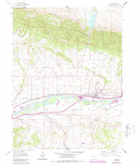
1962 Map of Silt
USGS Topo · Published 1988About this map
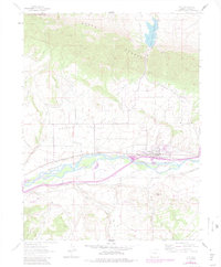
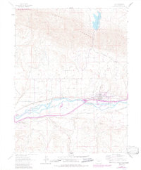
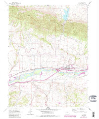
The Colorado River valley dominates this 1960s landscape, where the settlement of Silt serves as a hub for the surrounding agricultural and industrial activities. The town is flanked by the Denver and Rio Grande Western railroad and the modern corridor of Interstate 70, reflecting the region's historical reliance on transportation networks. To the north, the striking Grand Hogback ridge separates the valley from the Grass Valley Reservoir and the Rifle Gap State Recreation Area, while the Harvey Gap provides a natural break in the terrain.
Find a feature on this map
31 named features on this map. Tap any name to fly to it.
Don’t see what you’re looking for? This feature index may not catch every label — zoom into the map to look around manually.
Map Details
Editions of this 1962 Silt Map
7 editions found
Other maps of this area

1906 · Grand Hogback
USGS Topo · 1:125,000

1910 · Grand Hogback
USGS Topo · 1:125,000

1952 · Horse Mountain
USGS Topo · 1:24,000

1952 · Rifle
USGS Topo · 1:24,000

1957 · Leadville
USGS Topo · 1:250,000

1959 · Leadville
USGS Topo · 1:250,000

1960 · Leadville
USGS Topo · 1:250,000

1960 · North Mamm Peak
USGS Topo · 1:24,000

1962 · Leadville
USGS Topo · 1:250,000

1962 · New Castle
USGS Topo · 1:24,000