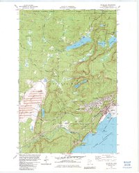
1982 Map of Silver Bay
USGS Topo · Published 1983About this map
Lake Superior's north shore reveals a landscape defined by heavy industry and conservation in the early 1980s. The taconite-focused economy is centered on Silver Bay, where a massive Industrial Plant and extensive Tailings Ponds dominate the shoreline, serviced by a Railroad and an aboveground pipeline. This industrial footprint contrasts sharply with the nearby Tettegouche State Park and Superior National Forest, which protect numerous inland lakes like Lax Lake and Tetagouche Lake. Along the coast, the older settlement of Beaver Bay and the smaller East Beaver Bay sit near the mouth of the Beaver River, which features landmarks like Glenn Avon Falls. The map also captures the local infrastructure for the growing community, including Kelly High Sch and MacDonald Middle Sch, alongside specialized recreational areas like the Silver Bay Country Club.
Find a feature on this map
61 named features on this map. Tap any name to fly to it.
Don’t see what you’re looking for? This feature index may not catch every label — zoom into the map to look around manually.
Map Details
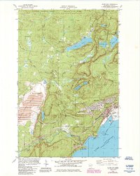
Editions of this 1982 Silver Bay Map
2 editions found
Other maps of this area

1954 · Silver Bay
USGS Topo · 1:62,500

1954 · Two Harbors
USGS Topo · 1:250,000

1956 · Split Rock Point
USGS Topo · 1:24,000

1956 · Finland
USGS Topo · 1:24,000

1956 · Finland
USGS Topo · 1:62,500

1956 · Illgen City
USGS Topo · 1:24,000

1956 · Split Rock Point
USGS Topo · 1:62,500

1956 · Split Rock Point NE
USGS Topo · 1:24,000

1957 · Two Harbors
USGS Topo · 1:250,000

1958 · Two Harbors
USGS Topo · 1:250,000