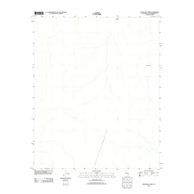
2012 Map of Silver Bell Mine
USGS Topo · Published 2012About this map
Silver Bell Mine defines this arid landscape in San Bernardino County, situated amidst a complex drainage network typical of the High Desert. The 2012 survey illustrates the isolated nature of this mining site, connected to the wider region only by the Canyon Rte, which cuts across the southern portion of the quadrangle. To the north, the geography is punctuated by the deep incision of Box Canyon, showing the natural erosion patterns that characterize this part of the California desert. The map captures the area in a state of relative stillness, where sparse infrastructure remains focused on the historical extraction activity at the mine and the natural landforms that dictate the movement through these canyons.
Find a feature on this map
3 named features on this map. Tap any name to fly to it.
Don’t see what you’re looking for? This feature index may not catch every label — zoom into the map to look around manually.
Map Details
Editions of this 2012 Silver Bell Mine Map
This is the sole edition of this map. No revisions or reprints were ever made.
Other maps of this area

1953 · San Bernardino
USGS Topo · 1:250,000

1954 · Galway Lake
USGS Topo · 1:24,000

1955 · Silver Bell Mine
USGS Topo · 1:24,000

1955 · Sunshine Peak
USGS Topo · 1:24,000

1955 · Newberry
USGS Topo · 1:62,500

1955 · Lavic
USGS Topo · 1:62,500

1955 · Cady Mountains
USGS Topo · 1:62,500

1955 · Rodman Mountains
USGS Topo · 1:62,500

1956 · San Bernardino
USGS Topo · 1:250,000

1957 · San Bernardino
USGS Topo · 1:250,000