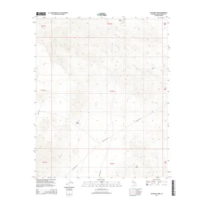
2015 Map of Silver Bell Mine
USGS Topo · Published 2015About this map
Silver Bell Mine occupies a high-elevation position within this arid reach of the Mojave Desert, surrounded by a landscape of steep relief and ancient water sources. The presence of Sheep Spring near the northern boundary suggests the critical importance of reliable water in this parched environment. The terrain is defined by dramatic geological features such as Iron Ridge and the deep incision of Box Canyon, reflecting the harsh beauty of the San Bernardino County interior.
Find a feature on this map
17 named features on this map. Tap any name to fly to it.
Don’t see what you’re looking for? This feature index may not catch every label — zoom into the map to look around manually.
Map Details
Editions of this 2015 Silver Bell Mine Map
This is the sole edition of this map. No revisions or reprints were ever made.
Other maps of this area

1953 · San Bernardino
USGS Topo · 1:250,000

1954 · Galway Lake
USGS Topo · 1:24,000

1955 · Silver Bell Mine
USGS Topo · 1:24,000

1955 · Sunshine Peak
USGS Topo · 1:24,000

1955 · Newberry
USGS Topo · 1:62,500

1955 · Lavic
USGS Topo · 1:62,500

1955 · Cady Mountains
USGS Topo · 1:62,500

1955 · Rodman Mountains
USGS Topo · 1:62,500

1956 · San Bernardino
USGS Topo · 1:250,000

1957 · San Bernardino
USGS Topo · 1:250,000