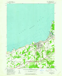
1960 Map of Silver Creek
USGS Topo · Published 1962About this map
The Lake Erie shoreline of Chautauqua and Erie counties centers on the industrious village of Silver Creek, where Walnut Creek meets the lake. This 1960 revision by the Geological Survey illustrates a landscape deeply connected to both rail and water, with the New York Central and Pennsylvania Road and the New York Chicago and St Louis Road tracing the coast. To the east, the Cattaraugus Indian Reservation borders the mouth of Cattaraugus Creek, marking a significant cultural and geographic boundary.
Find a feature on this map
48 named features on this map. Tap any name to fly to it.
Don’t see what you’re looking for? This feature index may not catch every label — zoom into the map to look around manually.
Map Details
Editions of this 1960 Silver Creek Map
2 editions found
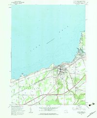
Other maps of this area

1899 · Silver Creek
USGS Topo · 1:62,500

1900 · Dunkirk
USGS Topo · 1:62,500

1900 · Cherry Creek
USGS Topo · 1:62,500

1941 · Cherry Creek
USGS Topo · 1:62,500

1943 · Dunkirk
USGS Topo · 1:62,500

1943 · Silver Creek
USGS Topo · 1:24,000
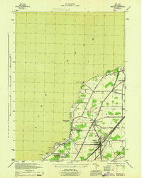
1944 · Angola
USGS Topo · 1:31,680

1944 · Farnham
USGS Topo · 1:31,680

1944 · Silver Creek
USGS Topo · 1:31,680

1954 · Forestville
USGS Topo · 1:24,000