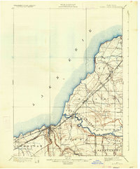
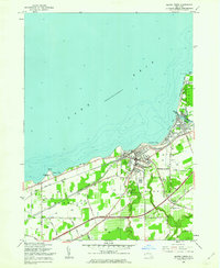
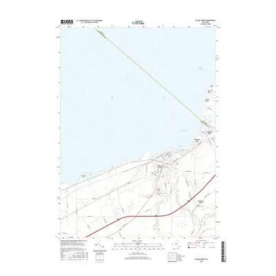
1899 Map of Silver Creek
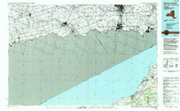
USGS Topo · Published 1933About this map
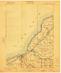
Lake Erie defines the northwestern boundary of this 1898 survey, where the shoreline and inland plains are dominated by the arrival of the industrial age. The landscape is bisected by the high-traffic corridors of the Lake Shore & Michigan Southern R. R. and the New York Chicago and St. Louis R. R., which connect the bustling hub of Silver Creek with northeastern settlements like Angola and Farnham.
Find a feature on this map
26 named features on this map. Tap any name to fly to it.
Don’t see what you’re looking for? This feature index may not catch every label — zoom into the map to look around manually.
Map Details
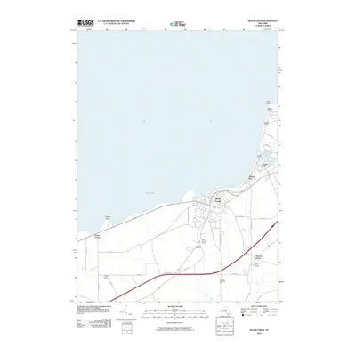
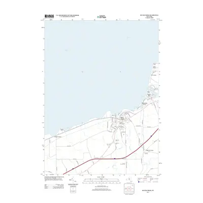
Editions of this 1899 Silver Creek Map
7 editions found
Historical Maps of Evans Through Time
10 maps found
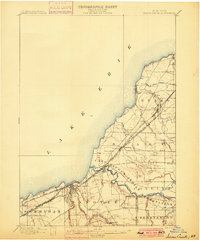
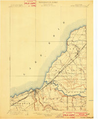
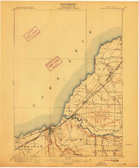
1899 Silver Creek
Chautauqua County, NY
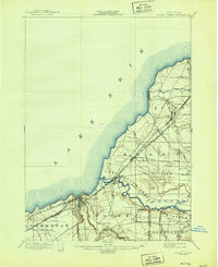
1943 Silver Creek
Chautauqua County, NY

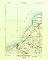
1944 Silver Creek
Chautauqua County, NY
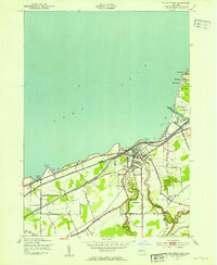
1960 Silver Creek
Chautauqua County, NY
1986 Silver Creek
Chautauqua County, NY
2010 Silver Creek
Chautauqua County, NY
2013 Silver Creek
Chautauqua County, NY
2016 Silver Creek
Chautauqua County, NY
2019 Silver Creek
Chautauqua County, NY

2023 Silver Creek
Chautauqua County, NY