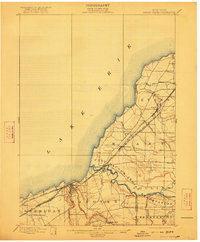
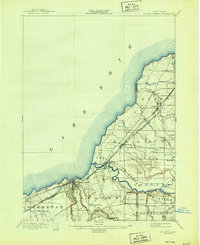
1899 Map of Silver Creek
USGS Topo · Published 1922About this map
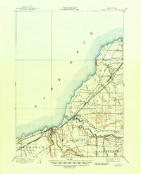
Lake Erie defines the northwestern boundary of this late nineteenth-century survey, its coastline carved by numerous drainage points where Cattaraugus Creek and smaller streams like Muddy Creek meet the water. The landscape is a vital transportation corridor, dominated by the parallel tracks of the Lake Shore & Michigan Southern R. R. and the New York Chicago and St. Louis R. R.. These rail lines connect a string of lakeside and inland settlements, including Silver Creek, Angola, and Irving.
Find a feature on this map
32 named features on this map. Tap any name to fly to it.
Don’t see what you’re looking for? This feature index may not catch every label — zoom into the map to look around manually.
Map Details
Editions of this 1899 Silver Creek Map
7 editions found
Other maps of this area

1894 · Buffalo
USGS Topo · 1:62,500

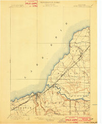
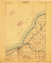
1899 · Silver Creek
USGS Topo · 1:62,500

1900 · Dunkirk
USGS Topo · 1:62,500

1900 · Cherry Creek
USGS Topo · 1:62,500

1901 · Buffalo
USGS Topo · 1:62,500

1905 · Eden
USGS Topo · 1:62,500

1907 · Eden
USGS Topo · 1:62,500

1923 · Cattaraugus
USGS Topo · 1:62,500

1938 · Cattaraugus
USGS Topo · 1:62,500

1941 · Cattaraugus
USGS Topo · 1:62,500