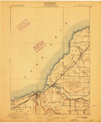
1899 Map of Silver Creek
USGS Topo · Published 1911About this map
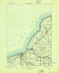
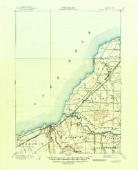
Lake Erie defines the northwestern boundary of this late 19th-century landscape, where a dense network of major railroads converges to follow the coastline. The industrial and transit corridor is dominated by the Lake Shore & Michigan Southern R. R. and the New York Chicago and St. Louis R. R., which pass through growing trackside settlements like Angola and Silver Creek. The inland terrain is marked by significant topographical shifts as the land rises away from the lake, particularly around the winding path of Cattaraugus Creek. This waterway serves as a natural anchor for the Cattaraugus Indian Reservation, which spans the intersection of Hanover, Brant, and Perrysburg. Smaller hamlets such as Smiths Mills and Hanover Center suggest the agricultural foundations of Chautauqua and Erie counties before the further expansion of the regional industrial economy.
Find a feature on this map
34 named features on this map. Tap any name to fly to it.
Don’t see what you’re looking for? This feature index may not catch every label — zoom into the map to look around manually.
Map Details
Editions of this 1899 Silver Creek Map
7 editions found
Other maps of this area

1894 · Buffalo
USGS Topo · 1:62,500

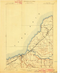
1899 · Silver Creek
USGS Topo · 1:62,500

1900 · Dunkirk
USGS Topo · 1:62,500

1900 · Cherry Creek
USGS Topo · 1:62,500

1901 · Buffalo
USGS Topo · 1:62,500

1905 · Eden
USGS Topo · 1:62,500

1907 · Eden
USGS Topo · 1:62,500

1923 · Cattaraugus
USGS Topo · 1:62,500

1938 · Cattaraugus
USGS Topo · 1:62,500

1941 · Cattaraugus
USGS Topo · 1:62,500