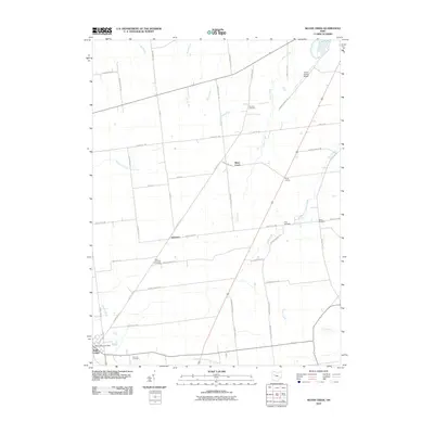
2010 Map of Silver Creek
USGS Topo · Published 2010About this map
The village of Belle Center anchors the southwest corner of this Hardin County landscape, situated near the headwaters of the North Fork Great Miami River. This 2010 survey illustrates a primarily agricultural region defined by a precise grid of township and county roads, including Township Road 154 and County Rd 115. A network of small waterways, such as Payden Run, Jordan Run, and the namesake Silver Creek, drain the flat terrain toward the Great Miami River system. Several small historical clusters and family-named landmarks are scattered across the quadrangle, notably Yelverton and Kings Corners. Genealogists will find a high density of burial sites preserved in the landscape, from the Sloan-Yelverton Cemetery and Norman Cemetery in the central reaches to Fairview Cemetery near the southern village limits, offering a clear record of early local settlement patterns.
Find a feature on this map
51 named features on this map. Tap any name to fly to it.
Don’t see what you’re looking for? This feature index may not catch every label — zoom into the map to look around manually.
Map Details
Editions of this 2010 Silver Creek Map
This is the sole edition of this map. No revisions or reprints were ever made.
Other maps of this area

1913 · Alger
USGS Topo · 1:48,000

1913 · Bellefontaine
USGS Topo · 1:48,000

1913 · East Liberty
USGS Topo · 1:62,500

1915 · Alger
USGS Topo · 1:62,500

1915 · Bellefontaine
USGS Topo · 1:62,500

1915 · East Liberty
USGS Topo · 1:62,500

1915 · Kenton
USGS Topo · 1:62,500

1943 · Alger
USGS Topo · 1:62,500

1944 · East Liberty
USGS Topo · 1:62,500

1944 · Kenton
USGS Topo · 1:62,500