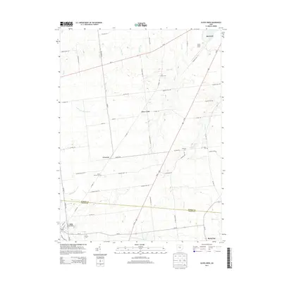
2013 Map of Silver Creek
USGS Topo · Published 2013About this map
Agricultural lands along the divide between the N Fork Great Miami River and the headwaters of Taylor Cr characterize this portion of west-central Ohio. The terrain is marked by a network of drainage ways and small runs, including Batchelet Run, Jordan Run, and Wolf Cr, which have historically shaped the farm boundaries of Hardin and Logan counties. Small settlements like Silver Creek and Yelverton serve as local anchors, while the southern outskirts of Kenton appear in the northeast corner near the Hardin County Airport.
Find a feature on this map
62 named features on this map. Tap any name to fly to it.
Don’t see what you’re looking for? This feature index may not catch every label — zoom into the map to look around manually.
Map Details
Editions of this 2013 Silver Creek Map
This is the sole edition of this map. No revisions or reprints were ever made.
Other maps of this area

1913 · Alger
USGS Topo · 1:48,000

1913 · Bellefontaine
USGS Topo · 1:48,000

1913 · East Liberty
USGS Topo · 1:62,500

1915 · Alger
USGS Topo · 1:62,500

1915 · Bellefontaine
USGS Topo · 1:62,500

1915 · East Liberty
USGS Topo · 1:62,500

1915 · Kenton
USGS Topo · 1:62,500

1943 · Alger
USGS Topo · 1:62,500

1944 · East Liberty
USGS Topo · 1:62,500

1944 · Kenton
USGS Topo · 1:62,500