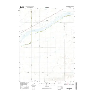
2014 Map of Silver Creek SE
USGS Topo · Published 2014About this map
Gardiner sits at the northern edge of a complex riverine landscape where the Platte River and its multiple channels dominate the geography of eastern Nebraska. The map illustrates a distinctive braided river system, featuring the S Channel Platte River and several smaller tributaries like Clear Cr and Prairie Creek that weave through the low-lying valley. This 2014 survey documents a rural environment where county borders—including the intersection of Merrick, Platte, and Polk counties—are defined by these shifting watercourses. The infrastructure is characterized by a precise grid of section-line roads, such as Co Road 38 and 370th Ave, which navigate the wide floodplains between the primary river channel and the smaller Silver Cr.
Find a feature on this map
36 named features on this map. Tap any name to fly to it.
Don’t see what you’re looking for? This feature index may not catch every label — zoom into the map to look around manually.
Map Details
Editions of this 2014 Silver Creek SE Map
This is the sole edition of this map. No revisions or reprints were ever made.
Other maps of this area

1896 · Stromsburg
USGS Topo · 1:125,000

1899 · David City
USGS Topo · 1:125,000

1955 · Fremont
USGS Topo · 1:250,000

1957 · Fremont
USGS Topo · 1:250,000

1958 · Fremont
USGS Topo · 1:250,000

1958 · Genoa
USGS Topo · 1:24,000

1958 · Monroe
USGS Topo · 1:24,000

1958 · Duncan
USGS Topo · 1:24,000

1958 · Columbus SW
USGS Topo · 1:24,000

1958 · Silver Creek SE
USGS Topo · 1:24,000