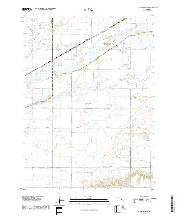
2021 Map of Silver Creek SE
USGS Topo · Published 2021About this map
Platte River braiding and the sprawling alluvial plains of the central Platte valley dominate this landscape in eastern Nebraska. The map details a complex hydrologic network where the South Channel Platte River diverges through low-lying terrain, flanked by significant tributaries including Prairie Creek to the north and Silver Creek to the west. This area is a classic example of the high-plains riverine corridor, where the water system dictated the original settlement patterns and land use.
Find a feature on this map
41 named features on this map. Tap any name to fly to it.
Don’t see what you’re looking for? This feature index may not catch every label — zoom into the map to look around manually.
Map Details
Editions of this 2021 Silver Creek SE Map
This is the sole edition of this map. No revisions or reprints were ever made.
Other maps of this area

1896 · Stromsburg
USGS Topo · 1:125,000

1899 · David City
USGS Topo · 1:125,000

1955 · Fremont
USGS Topo · 1:250,000

1957 · Fremont
USGS Topo · 1:250,000

1958 · Fremont
USGS Topo · 1:250,000

1958 · Genoa
USGS Topo · 1:24,000

1958 · Monroe
USGS Topo · 1:24,000

1958 · Duncan
USGS Topo · 1:24,000

1958 · Columbus SW
USGS Topo · 1:24,000

1958 · Silver Creek SE
USGS Topo · 1:24,000