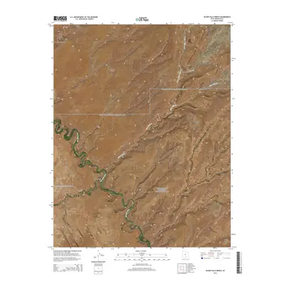
2014 Map of Silver Falls Bench
USGS Topo · Published 2014About this map
The Escalante River carves a deep, winding course through this canyon landscape, joined by drainage systems including Harris Wash and Silver Falls Cr. This 2014 survey captures the intricate topography of the Glen Canyon National Recreation Area in Garfield County, defined by elevated plateaus such as Silver Falls Bench, Little Bown Bench, and Big Bown Bench. The map details a transition from the high, flat benches to the sheer, technical drainages like Death Hollow.
Find a feature on this map
28 named features on this map. Tap any name to fly to it.
Don’t see what you’re looking for? This feature index may not catch every label — zoom into the map to look around manually.
Map Details
Editions of this 2014 Silver Falls Bench Map
This is the sole edition of this map. No revisions or reprints were ever made.
Other maps of this area

1886 · Escalante
USGS Topo · 1:250,000

1953 · Circle Cliffs 1 SE
USGS Topo · 1:24,000

1953 · Circle Cliffs 4 NW
USGS Topo · 1:24,000

1953 · Circle Cliffs 1 SW
USGS Topo · 1:24,000

1953 · Circle Cliffs 4 NE
USGS Topo · 1:24,000

1953 · Circle Cliffs 4 SW
USGS Topo · 1:24,000

1953 · Moody Creek
USGS Topo · 1:62,500
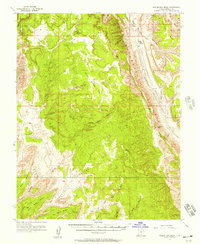
1953 · Wagon Box Mesa
USGS Topo · 1:62,500

1956 · Escalante
USGS Topo · 1:250,000

1960 · Escalante
USGS Topo · 1:250,000