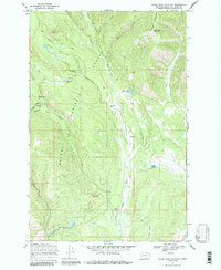
1968 Map of Silver King Mountain
USGS Topo · Published 1987About this map
Helena National Forest encompasses this wilderness area where the Landers Fork river carves through the landscape south of the Alice Mountains. The map reveals a land defined by backcountry travel and forest management, anchored by the Indian Meadows Guard Station and a high-elevation Lookout Tower atop Silver King Mountain. A complex network of labeled pack trails and the Indian Meadows Trail connect remote water features like Baking Powder Creek Falls and Snowbank Lake. Significant human activity is concentrated at the Silver King Ranch and the nearby Elk Trail Landing Strip, illustrating the intersection of private ranching and federal forest administration during the late 1960s. To the south, the terrain levels into Indian Meadows before reaching the uniquely named Keep Cool Lakes.
Find a feature on this map
69 named features on this map. Tap any name to fly to it.
Don’t see what you’re looking for? This feature index may not catch every label — zoom into the map to look around manually.
Map Details
Editions of this 1968 Silver King Mountain Map
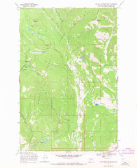
2 editions found
Other maps of this area

1889 · Helena
USGS Topo · 1:250,000

1893 · Helena
USGS Topo · 1:250,000

1899 · Helena
USGS Topo · 1:250,000

1903 · Coopers Lake
USGS Topo · 1:125,000

1903 · Helena
USGS Topo · 1:250,000

1943 · Hogan
USGS Topo · 1:125,000

1947 · Butte
USGS Topo · 1:250,000

1955 · Choteau
USGS Topo · 1:250,000

1957 · Choteau
USGS Topo · 1:250,000

1958 · Butte
USGS Topo · 1:250,000