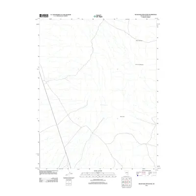
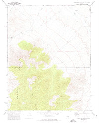
2012 Map of Silver King Mountain
USGS Topo · Published 2012About this map
Silver King Mountain and the high desert passes of Lincoln County dominate this 2012 survey. The landscape is defined by the stark verticality of the Silver King Pass and Burnt Peak, which overlook a network of high-elevation drainage patterns. This map documents a critical water source for the region at Burnt Station Spring, a name that suggests a deeper history of transit and survival in the Great Basin. While the topography is characterized by steep summits and dry washes, the presence of these named landmarks indicates their historical significance for surveyors and travelers navigating this part of Nevada.
Find a feature on this map
4 named features on this map. Tap any name to fly to it.
Don’t see what you’re looking for? This feature index may not catch every label — zoom into the map to look around manually.
Map Details
Editions of this 2012 Silver King Mountain Map
This is the sole edition of this map. No revisions or reprints were ever made.
Other maps of this area

1956 · Lund
USGS Topo · 1:250,000

1960 · Lund
USGS Topo · 1:250,000

1969 · Gap Mountain
USGS Topo · 1:24,000
1971 · Silver King Mtn SW
USGS Topo · 1:24,000

1971 · Bailey Wash
USGS Topo · 1:24,000
1971 · Timber Mtn Pass NE
USGS Topo · 1:24,000

1971 · Silver King Mtn
USGS Topo · 1:24,000

1971 · Sidehill Pass
USGS Topo · 1:24,000
1971 · Silver King Well
USGS Topo · 1:24,000
1971 · Timber Mtn Pass East
USGS Topo · 1:24,000