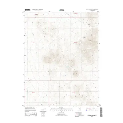
2015 Map of Silver King Mountain
USGS Topo · Published 2015About this map
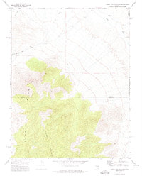
Silver King Mtn and the southern reaches of the Schell Creek Range dominate this high-desert landscape in Lincoln County. The map details a rugged interior where water sources like Burnt Station Spring provide critical relief between the steep slopes of Burnt Peak and the surrounding basins. This 2015 survey illustrates a remote network of unpaved access routes including Silver King Rd and Timber Pass Rd, which navigate the natural gap at Silver King Pass. The lack of established settlements highlights the area's use for ranching and resource management, with Sunnyside Rd cutting across the southwestern quadrant toward more distant valleys. For those studying Nevada's interior, this map provides a clear look at the geological formations and the sparse infrastructure that supports activity in these high-altitude ranges.
Find a feature on this map
14 named features on this map. Tap any name to fly to it.
Don’t see what you’re looking for? This feature index may not catch every label — zoom into the map to look around manually.
Map Details
Editions of this 2015 Silver King Mountain Map
This is the sole edition of this map. No revisions or reprints were ever made.
Other maps of this area

1956 · Lund
USGS Topo · 1:250,000

1960 · Lund
USGS Topo · 1:250,000

1969 · Gap Mountain
USGS Topo · 1:24,000
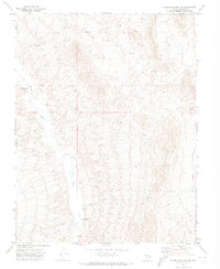
1971 · Silver King Mtn SW
USGS Topo · 1:24,000

1971 · Bailey Wash
USGS Topo · 1:24,000
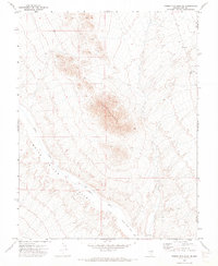
1971 · Timber Mtn Pass NE
USGS Topo · 1:24,000

1971 · Silver King Mtn
USGS Topo · 1:24,000

1971 · Sidehill Pass
USGS Topo · 1:24,000
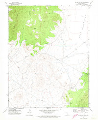
1971 · Silver King Well
USGS Topo · 1:24,000
1971 · Timber Mtn Pass East
USGS Topo · 1:24,000