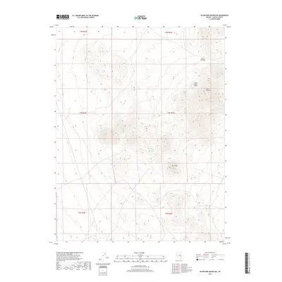
2018 Map of Silver King Mountain
USGS Topo · Published 2018About this map
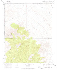
Silver King Mtn and the northern reaches of the Schell Creek Range dominate this Nevada landscape. The terrain is defined by high-elevation landforms, including Burnt Peak and the critical high-altitude passage at Silver King Pass. This area, mapped for its topographic and hydrological characteristics, showcases the remote interior drainage patterns of Lincoln County. A single vital water source, Burnt Station Spring, appears on the eastern slopes of the range, highlighting the importance of isolated springs in supporting movement through these arid mountains. The grid-like survey lines of T4N R63E and surrounding townships illustrate the systematic organization of these remote public lands.
Find a feature on this map
11 named features on this map. Tap any name to fly to it.
Don’t see what you’re looking for? This feature index may not catch every label — zoom into the map to look around manually.
Map Details
Editions of this 2018 Silver King Mountain Map
This is the sole edition of this map. No revisions or reprints were ever made.
Other maps of this area

1956 · Lund
USGS Topo · 1:250,000

1960 · Lund
USGS Topo · 1:250,000

1969 · Gap Mountain
USGS Topo · 1:24,000
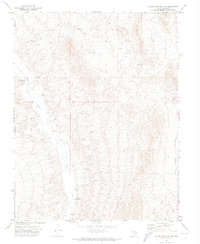
1971 · Silver King Mtn SW
USGS Topo · 1:24,000

1971 · Bailey Wash
USGS Topo · 1:24,000
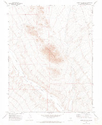
1971 · Timber Mtn Pass NE
USGS Topo · 1:24,000

1971 · Silver King Mtn
USGS Topo · 1:24,000

1971 · Sidehill Pass
USGS Topo · 1:24,000
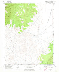
1971 · Silver King Well
USGS Topo · 1:24,000
1971 · Timber Mtn Pass East
USGS Topo · 1:24,000