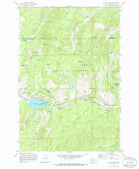
1971 Map of Silver Lake
USGS Topo · Published 1986About this map
Cable Mountain dominates the high-altitude industrial landscape of the Deerlodge National Forest in this 1971 record. The map details a complex network of resource extraction and infrastructure, centered around the historic Southern Cross and Georgetown settlements. Significant mining operations are documented across the slopes, including the prominent Cable Mine, Gold Coin Mine, and Trigger Mine. The management of water for downstream use is evident through the large Aqueduct and Flume systems connected to Silver Lake, which features a dedicated Pumping Sta. Beyond industry, the sheet captures the recreational and social footprint of the era, from the Anaconda Civilian Conservation Center to several mountain campgrounds and the Cable Lookout Tower perched atop the ridge. An Old Railroad Grade winding toward Yankee Flat Creek suggests the evolving transportation patterns of this mountain corridor.
Find a feature on this map
43 named features on this map. Tap any name to fly to it.
Don’t see what you’re looking for? This feature index may not catch every label — zoom into the map to look around manually.
Map Details
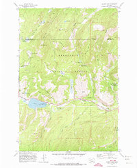
Editions of this 1971 Silver Lake Map
2 editions found
Other maps of this area

1908 · Philipsburg
USGS Topo · 1:125,000

1947 · Butte
USGS Topo · 1:250,000

1958 · Butte
USGS Topo · 1:250,000

1960 · Butte
USGS Topo · 1:250,000

1962 · Butte
USGS Topo · 1:250,000

1971 · Georgetown Lake
USGS Topo · 1:24,000
1971 · West Valley
USGS Topo · 1:24,000
1971 · Philipsburg
USGS Topo · 1:24,000
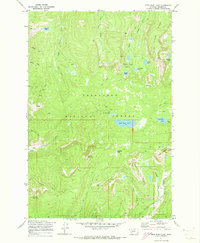
1971 · Fred Burr Lake
USGS Topo · 1:24,000
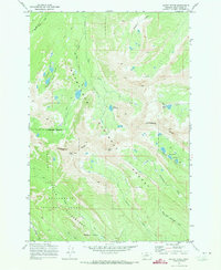
1971 · Mount Evans
USGS Topo · 1:24,000