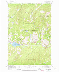
1971 Map of Silver Lake
USGS Topo · Published 1974About this map
Southern Cross and Georgetown anchor this mountain landscape within the Deerlodge National Forest, where a legacy of resource extraction and early recreation is clearly visible. The map records a complex infrastructure of mining and water management, including the Gold Coin Mine, Trigger Mine, and numerous unnamed prospects dotting the slopes of Cable Mountain. Water is channeled from Silver Lake through an aqueduct and flume system, supporting operations that once defined the regional economy. Industrial and civic history meet at the Anaconda Civilian Conservation Center, while the presence of a Ski Tow near Lagger Gulch and several campgrounds like Spring Hill Campground signals the area's transition into a recreational hub. An Old Railroad Grade winding through Yankee Flat provides a trace of former transport routes used before the modernization of the local road network.
Find a feature on this map
46 named features on this map. Tap any name to fly to it.
Don’t see what you’re looking for? This feature index may not catch every label — zoom into the map to look around manually.
Map Details
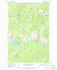
Editions of this 1971 Silver Lake Map
2 editions found
Other maps of this area

1908 · Philipsburg
USGS Topo · 1:125,000

1947 · Butte
USGS Topo · 1:250,000

1958 · Butte
USGS Topo · 1:250,000

1960 · Butte
USGS Topo · 1:250,000

1962 · Butte
USGS Topo · 1:250,000

1971 · Georgetown Lake
USGS Topo · 1:24,000
1971 · West Valley
USGS Topo · 1:24,000
1971 · Philipsburg
USGS Topo · 1:24,000
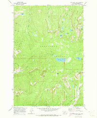
1971 · Fred Burr Lake
USGS Topo · 1:24,000
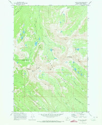
1971 · Mount Evans
USGS Topo · 1:24,000